28 May - 2 July - the Kimberley
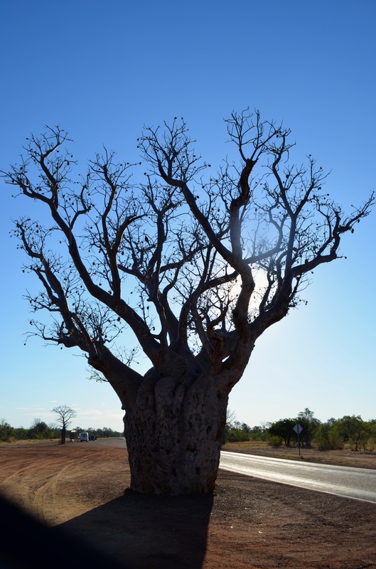
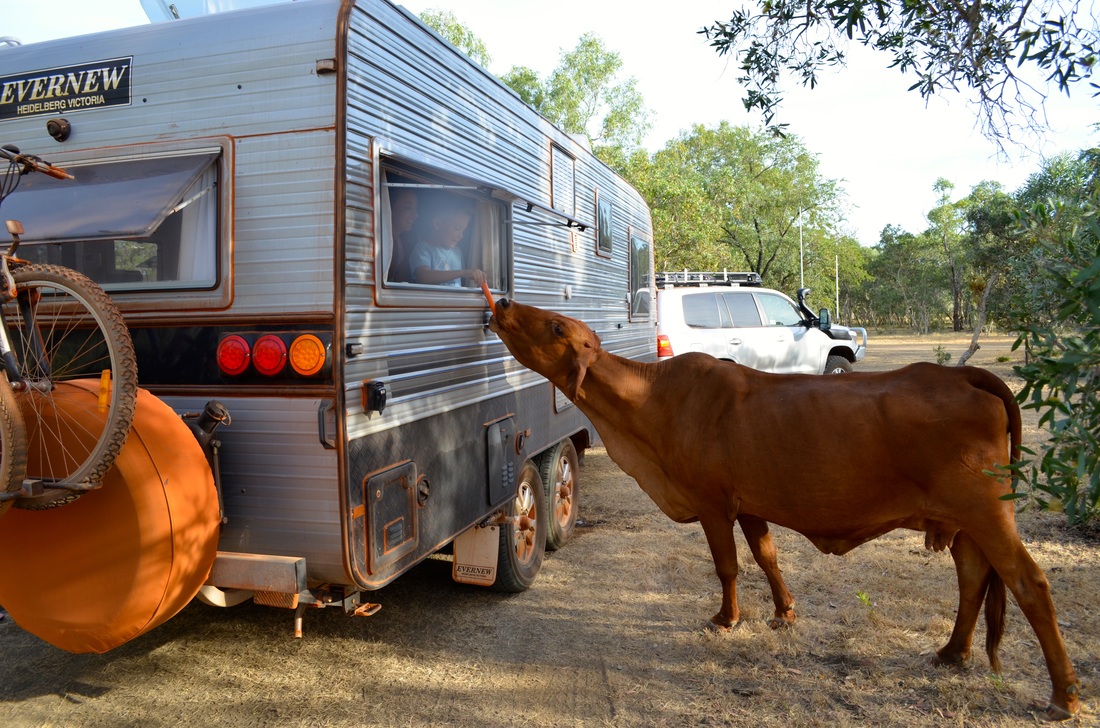
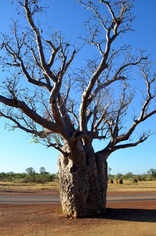
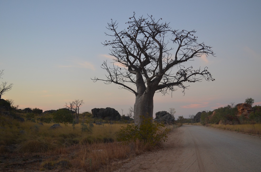
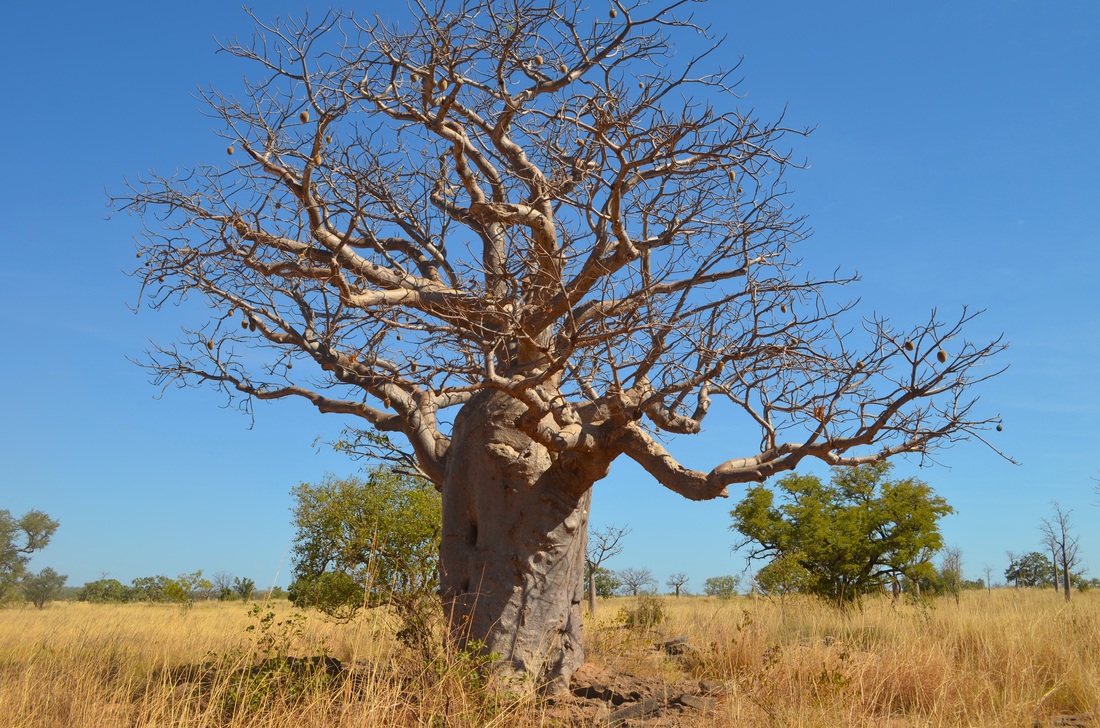
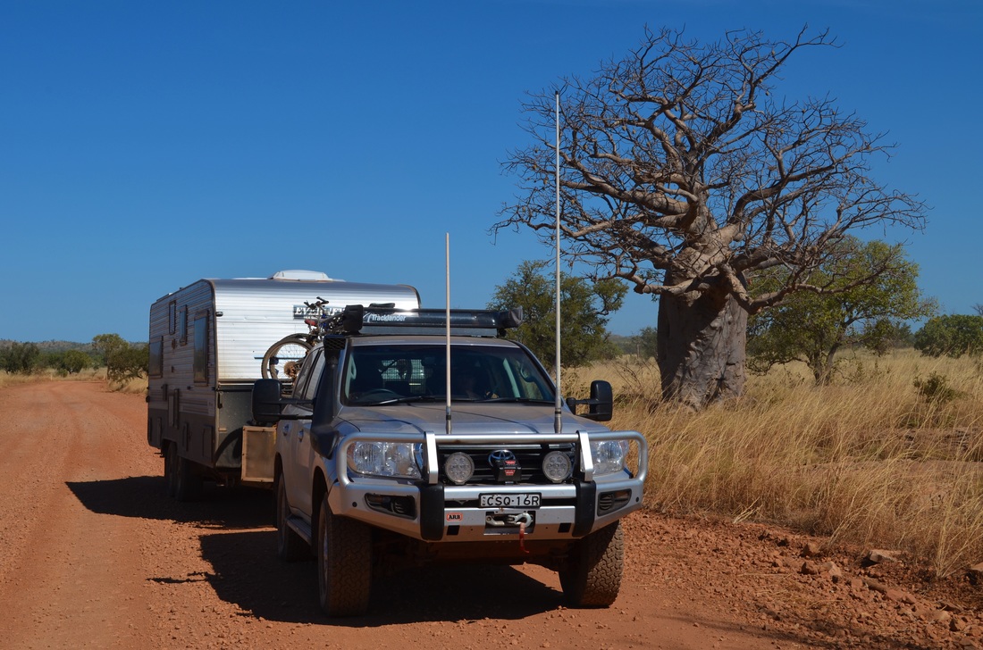
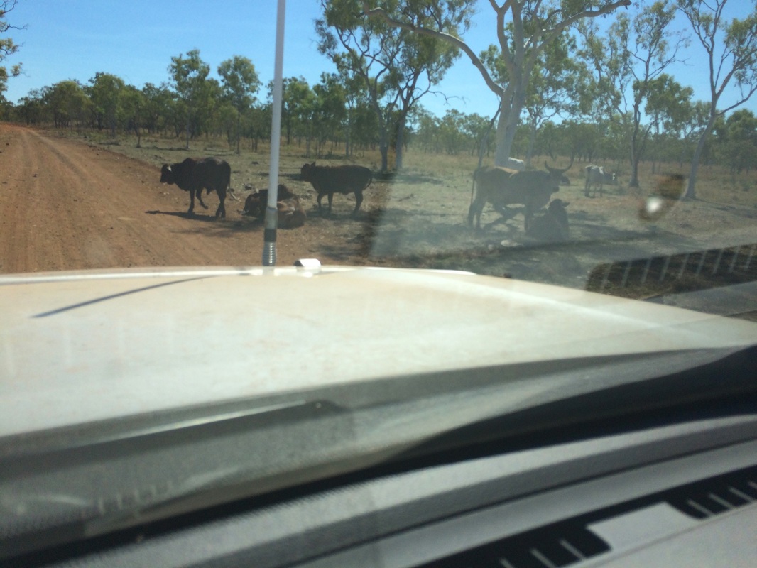
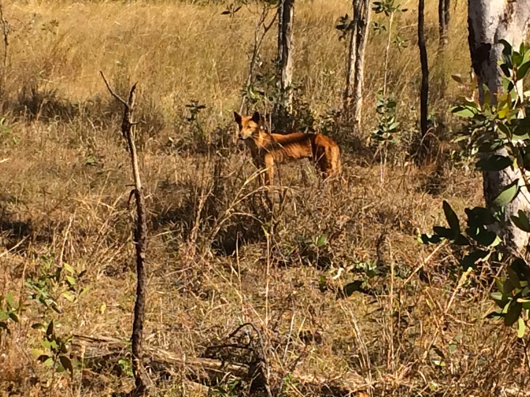
The first two things you notice in the Kimberley - boab trees and cattle

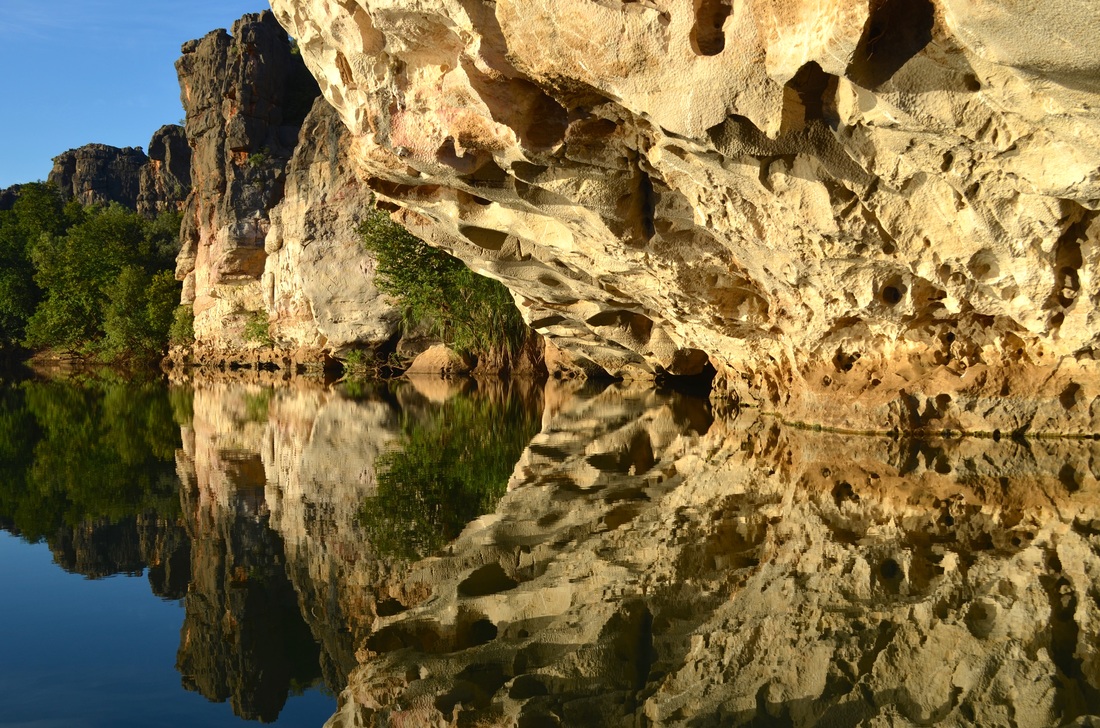
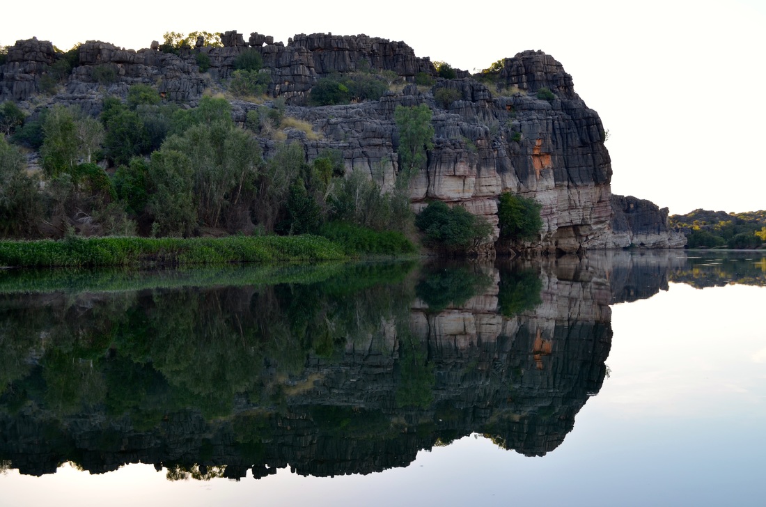
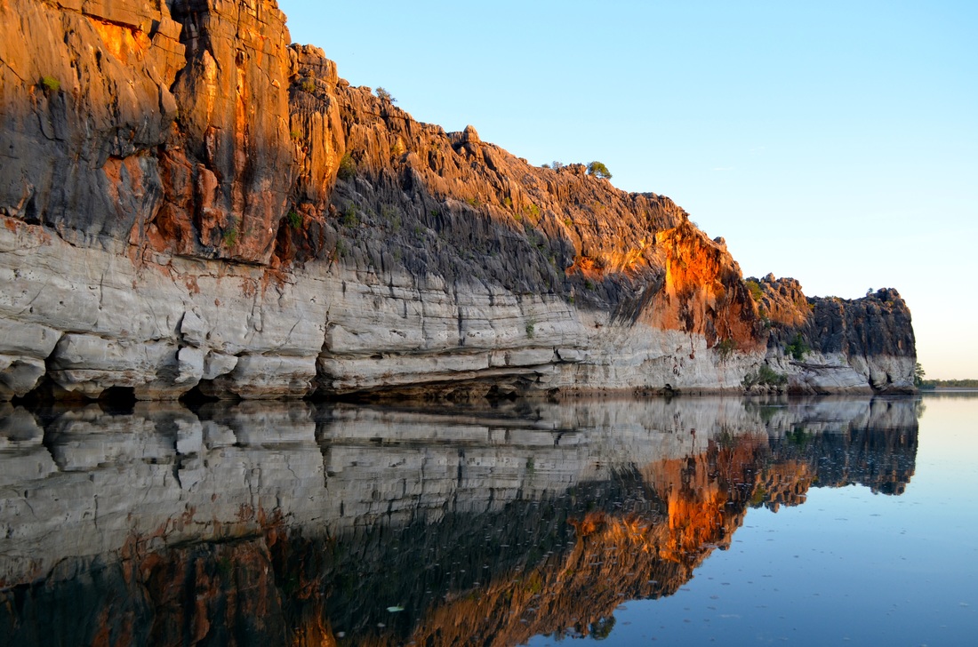
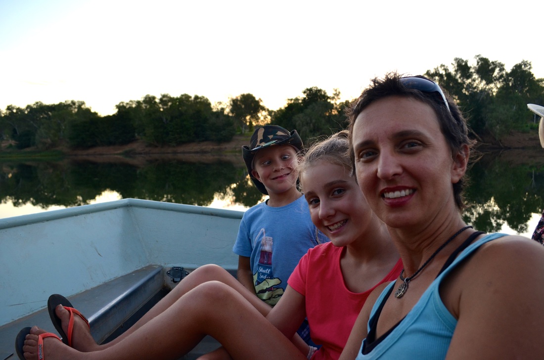
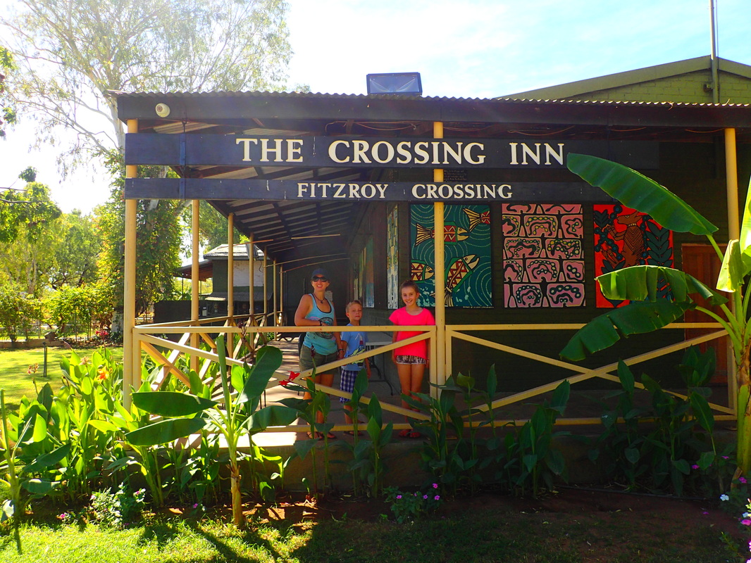
From Broome we took the Savannah Way to Fitzroy Crossing and then on to Geikie Gorge, just northeast of Fitzroy Crossing, where we did a boat tour run by National Parks.


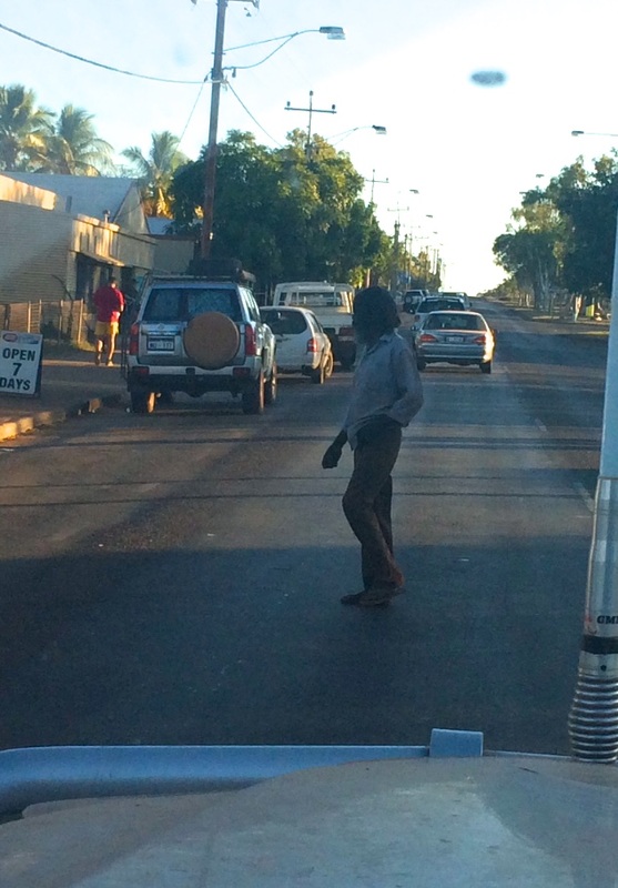
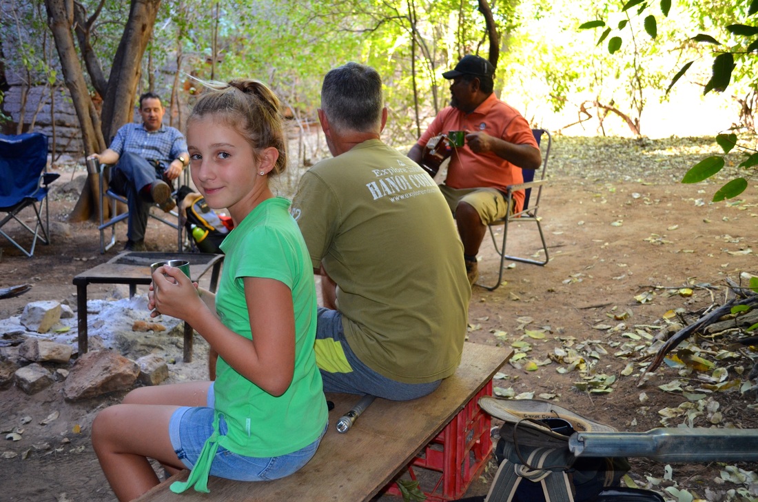
Fitzroy Crossing and Halls Creek have alcohol restrictions in place preventing the sale of "take-aways". Consequently the pub is very busy and its clientele are on a mission. We went into the back bar and had a drink - out of our comfort zone to say the least. Jada pulled out her iPhone and was going to take a few photos. I felt that was probably not a wise move so you will have to go there and check it out for yourself to see what I mean.
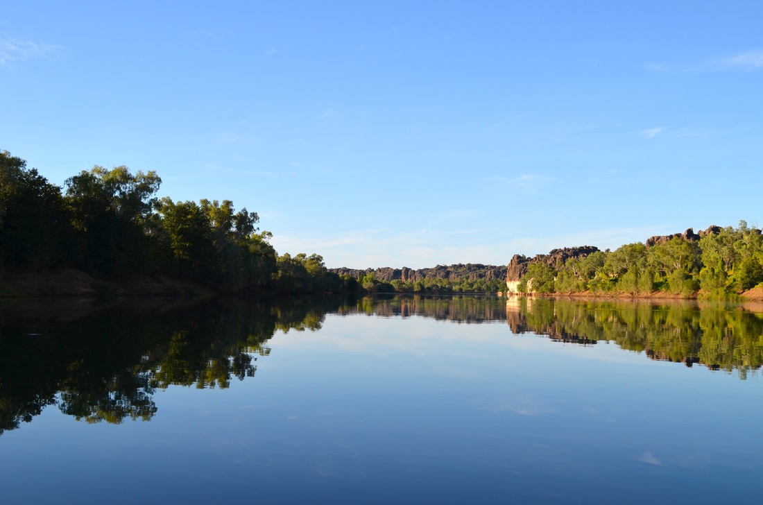
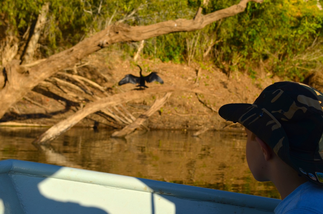
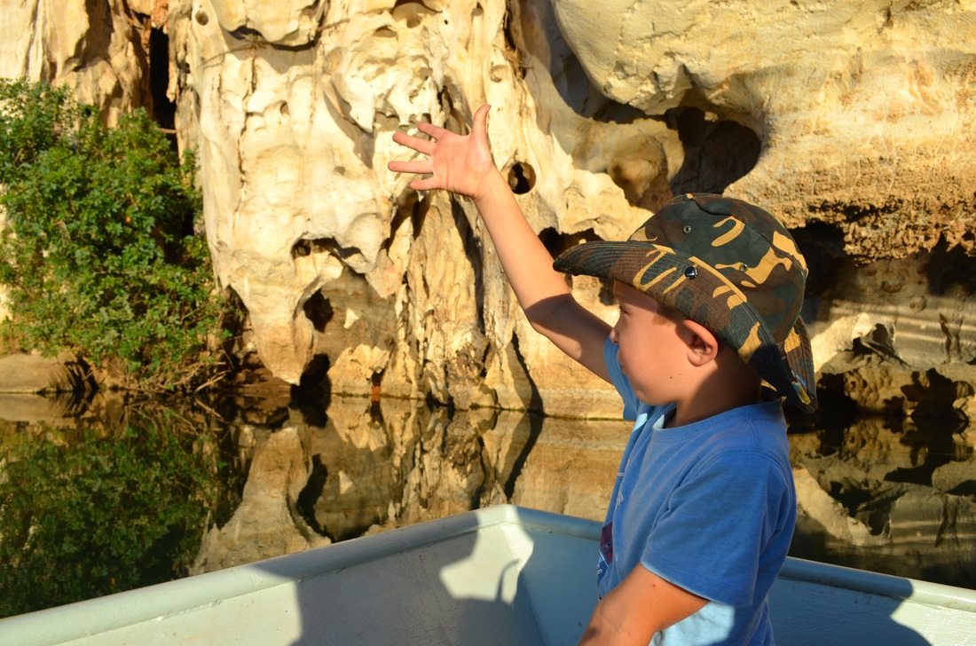
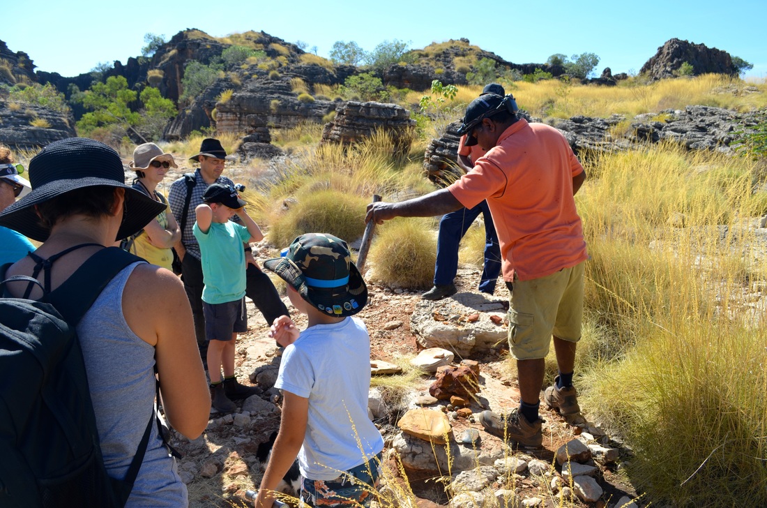
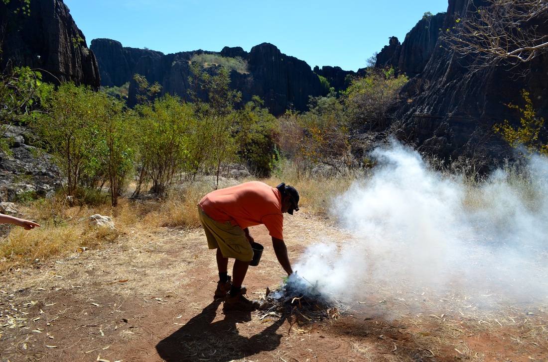
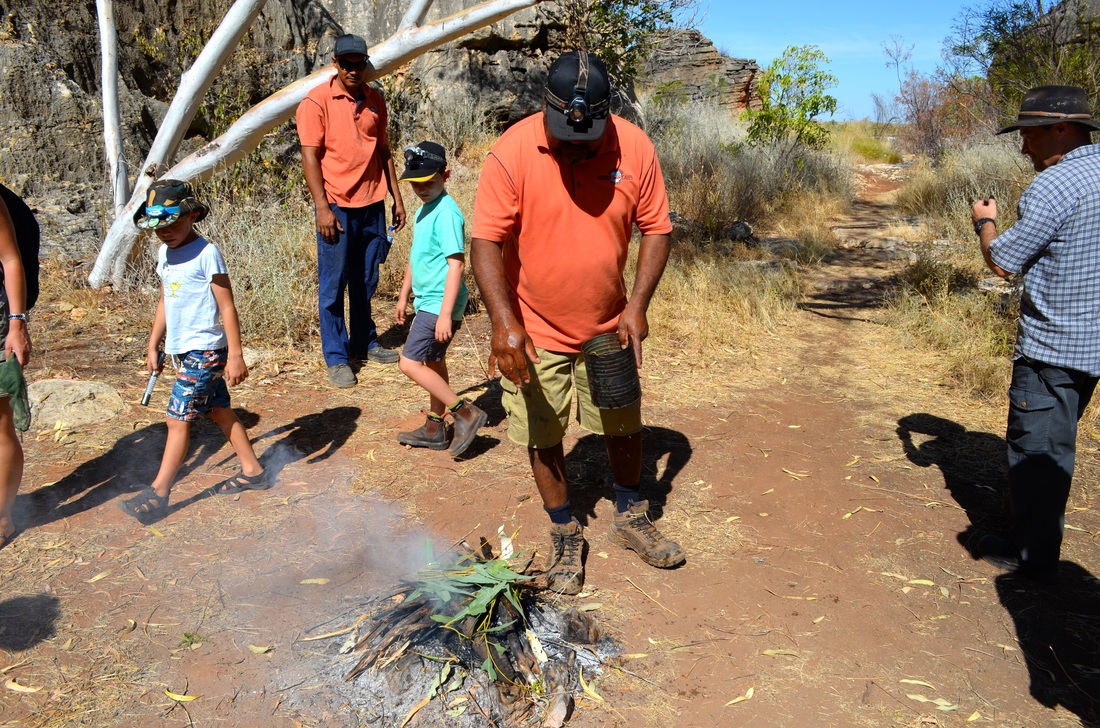
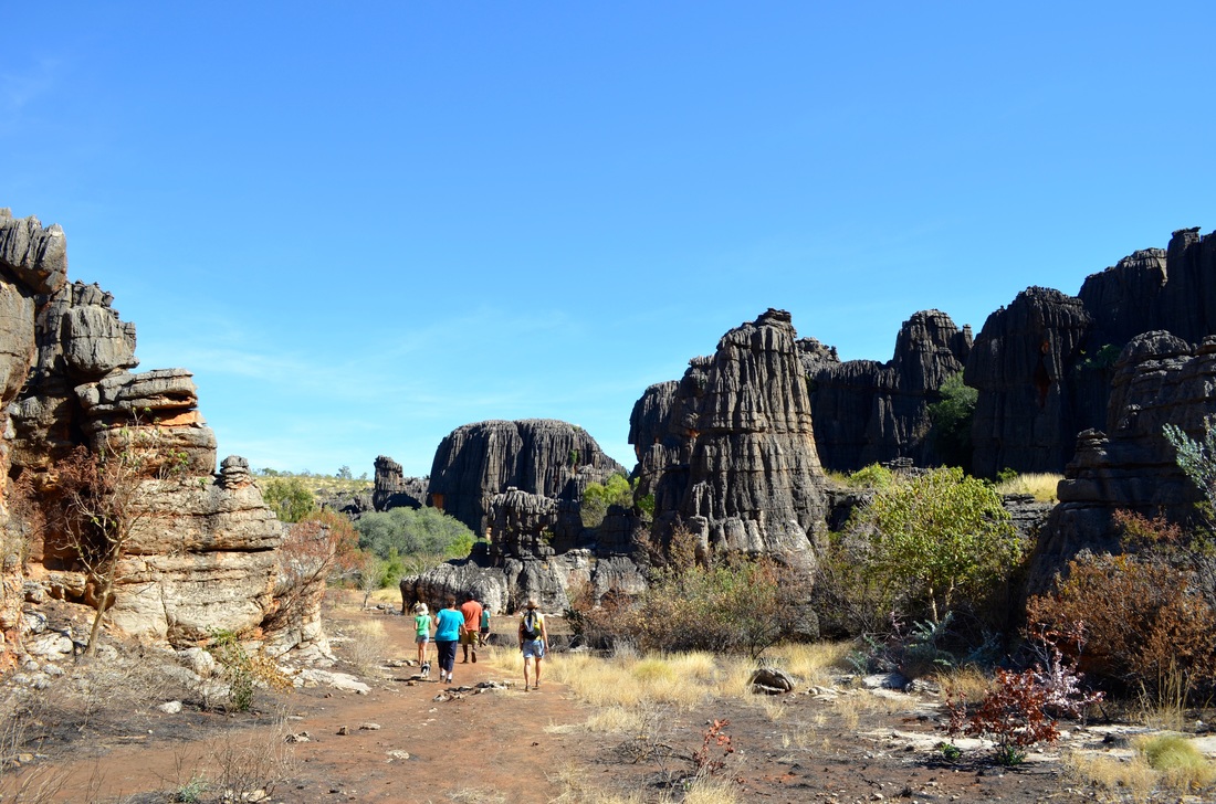
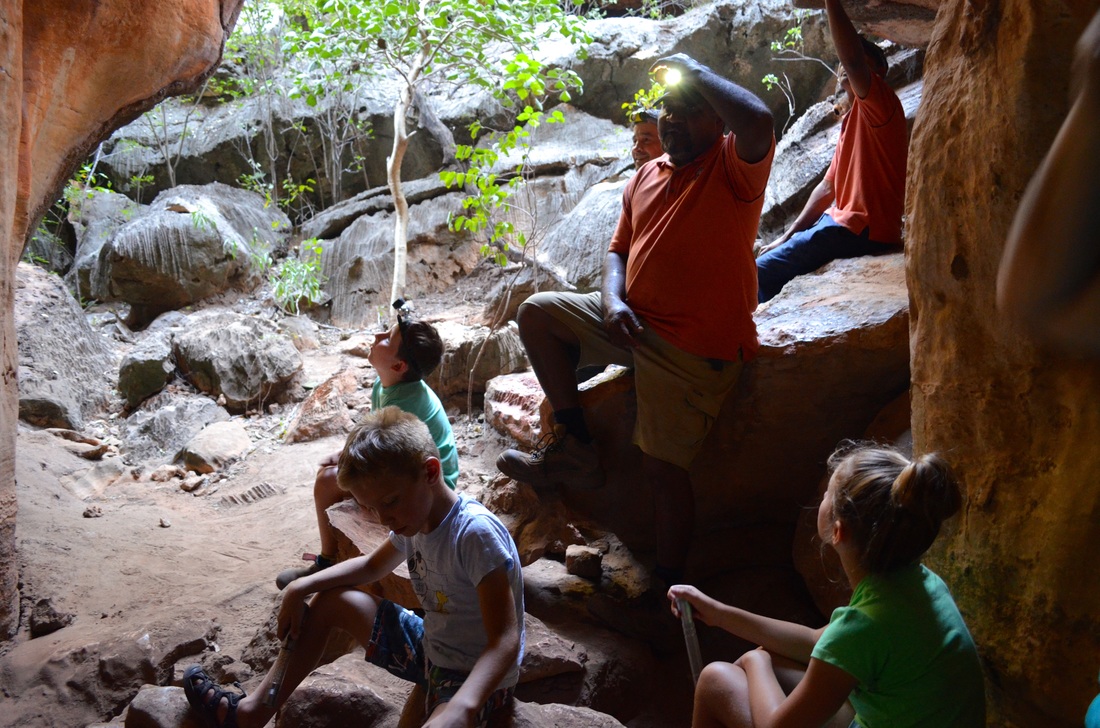
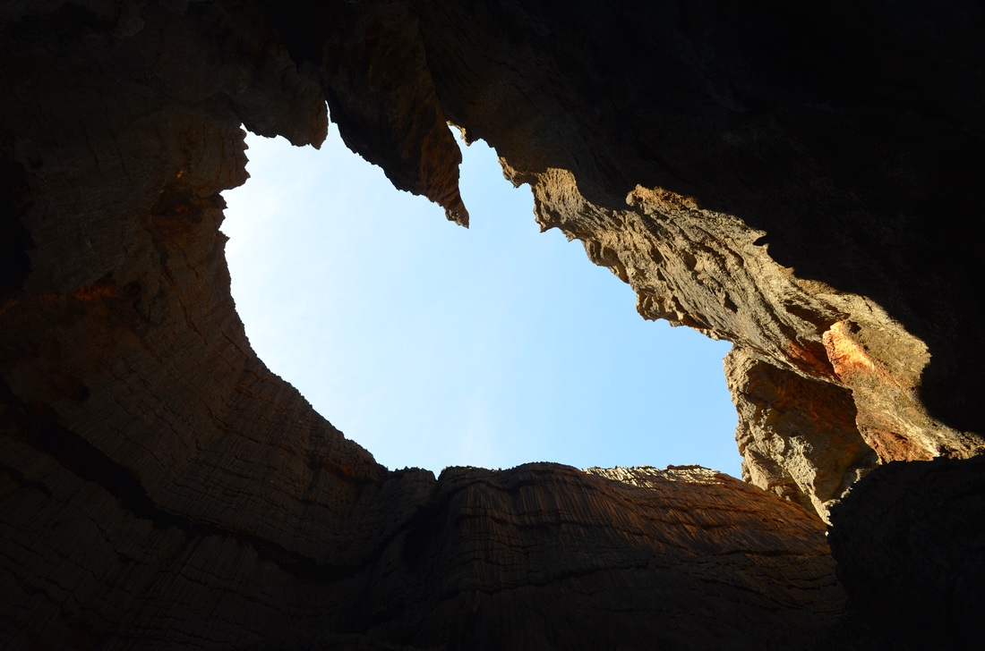
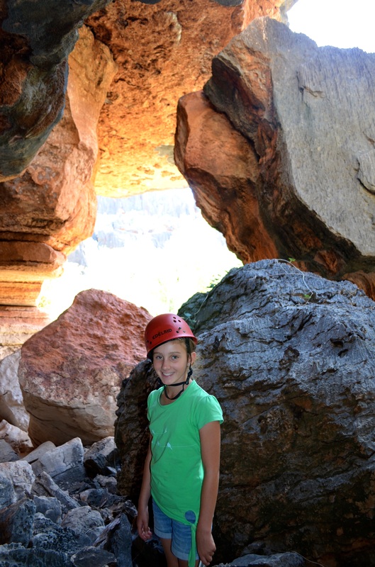
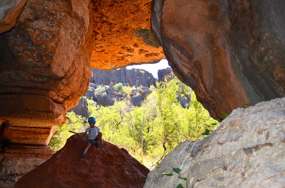
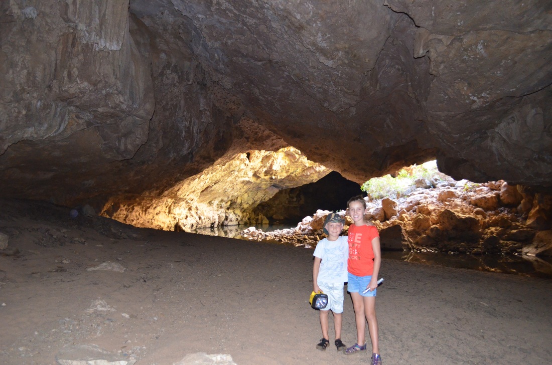
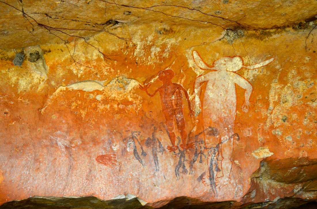
Next it was further east on the Savannah Way to do a tour of Mimby Caves run by the local indigenous community on aboriginal Girloorlands.


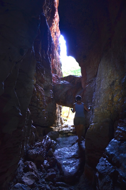

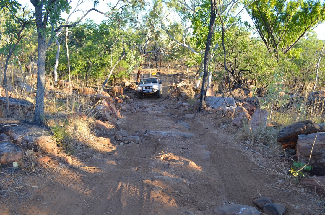
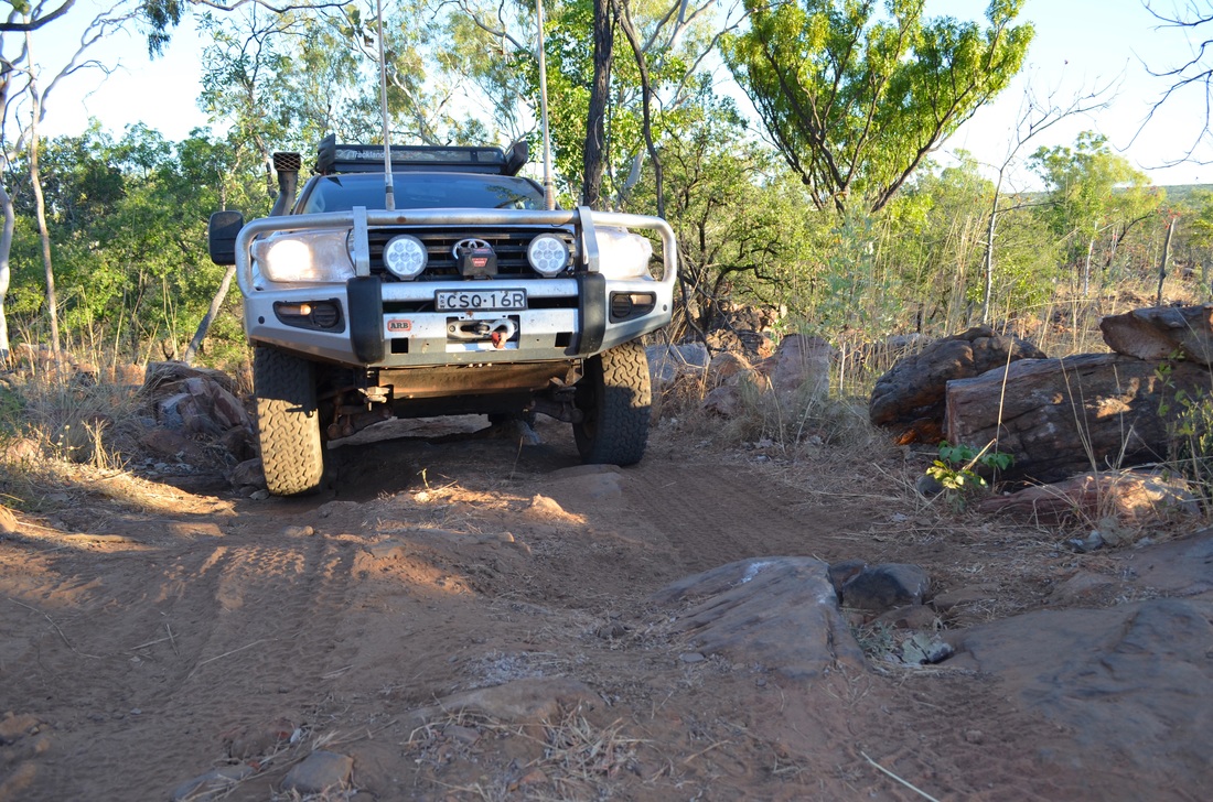
After Mimby Caves we backtracked slightly to take the Leopold Downs Road which runs north to meet the infamous Gibb River Road. The road was rough but very scenic with some spectacular boabs.

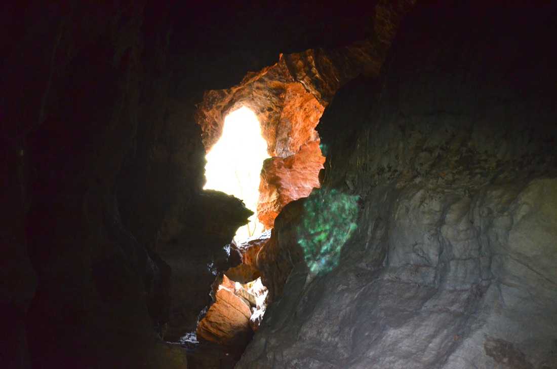
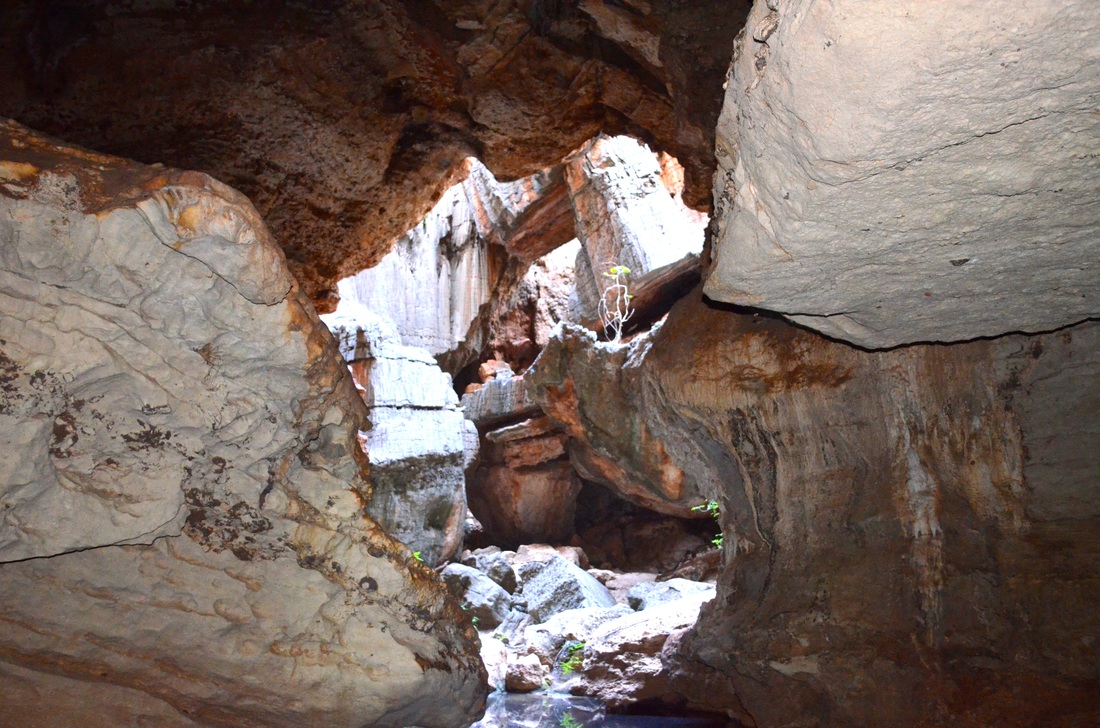
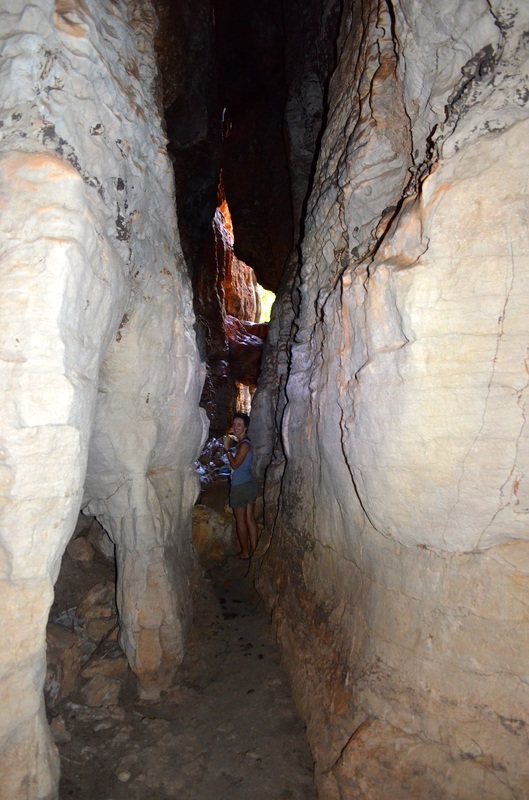
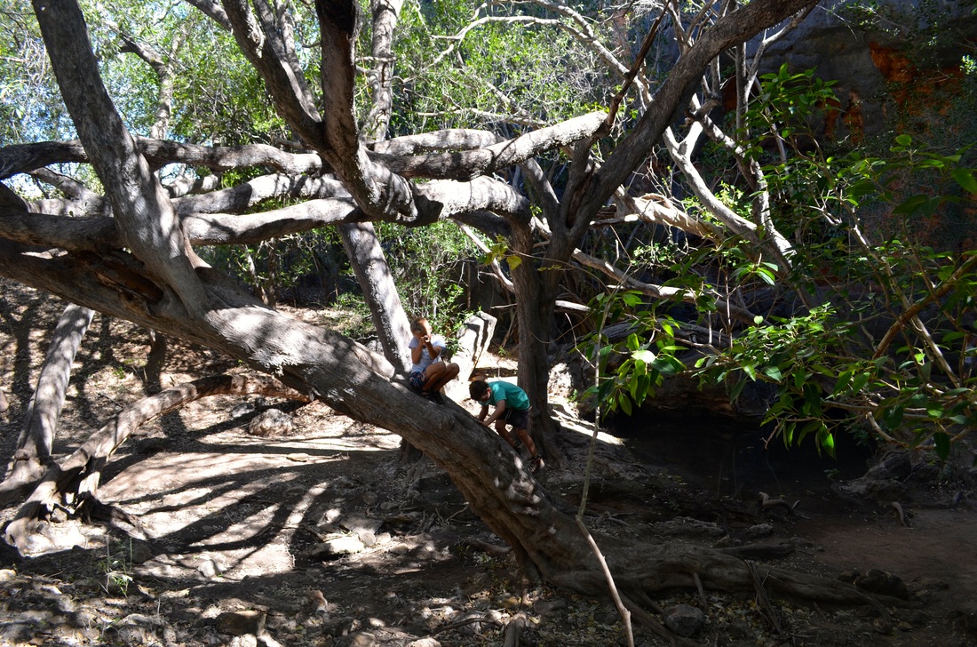
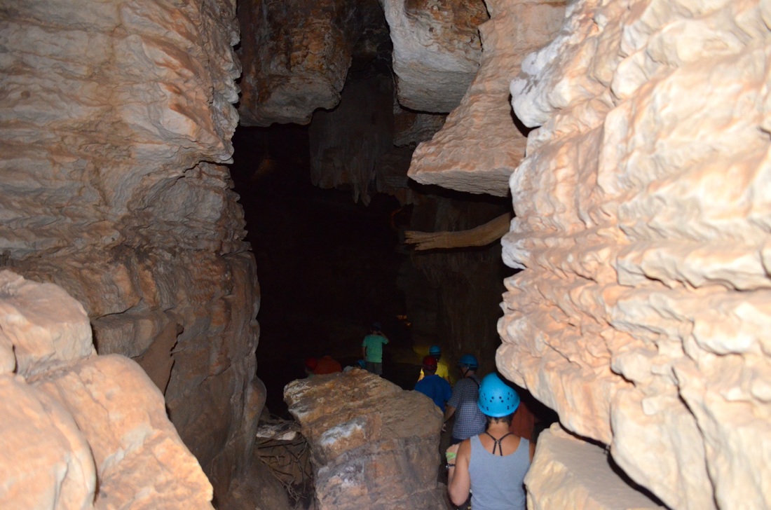
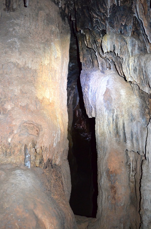
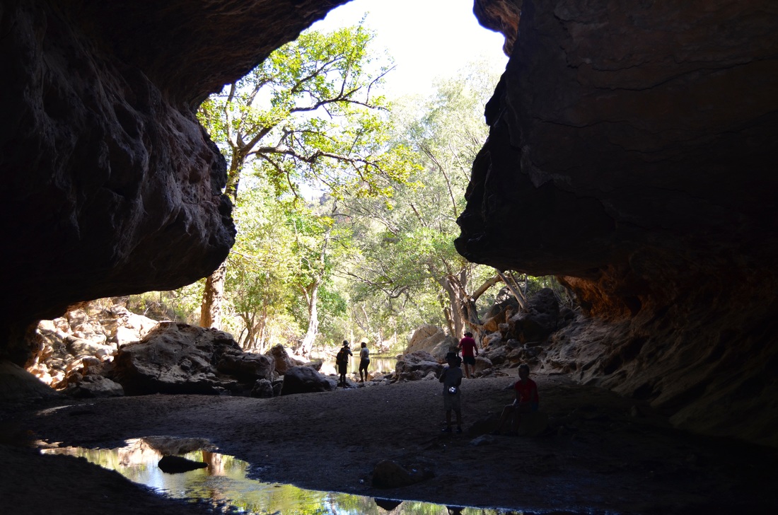
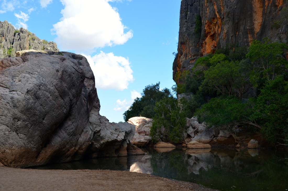
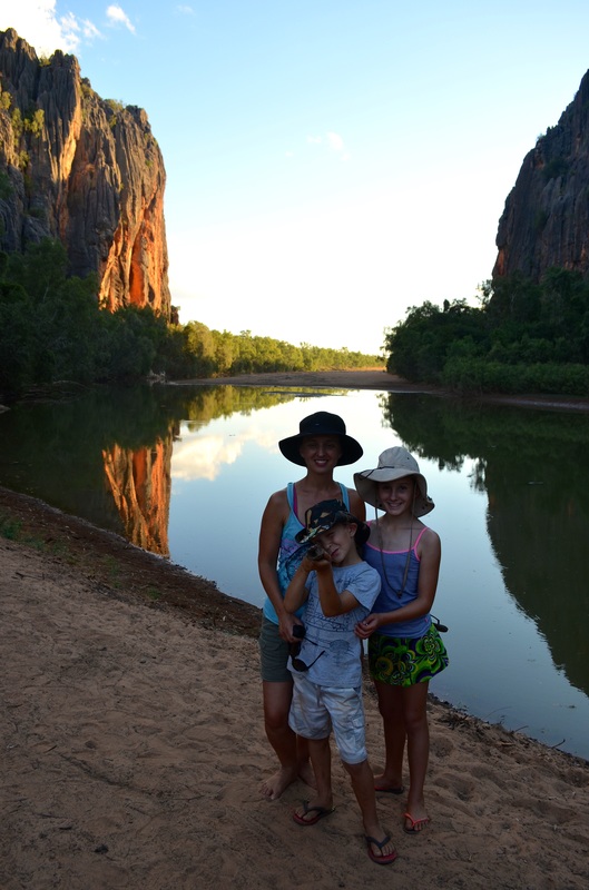
Tunnel Creek is about a kilometre long and negotiated by wading through at times thigh deep water which we were later informed was home to a few "freshies". Tunnel Creek was the main hideout of the 19th century aboriginal rebellion leader Jandamarra. Jandamarra or Tjandamurra, was an Indigenous Australian of the Bunuba people who led one of the few organised armed insurrections documented against European settlement in Australia. He was hunted down and killed by an aboriginal tracker outside Tunnel Creek in 1897.


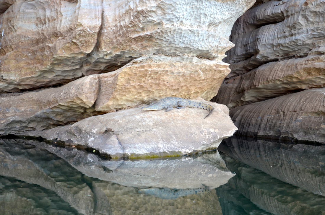
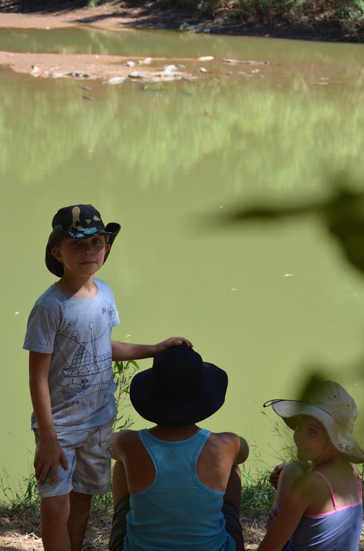
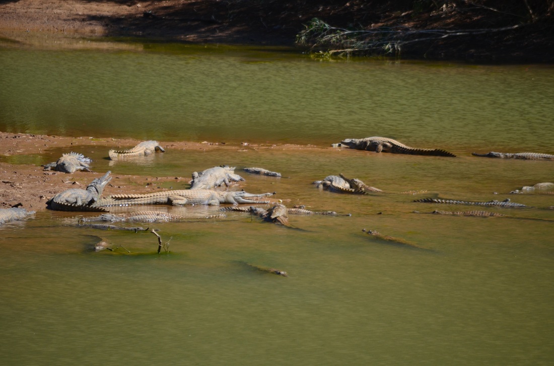
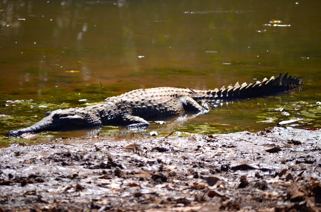
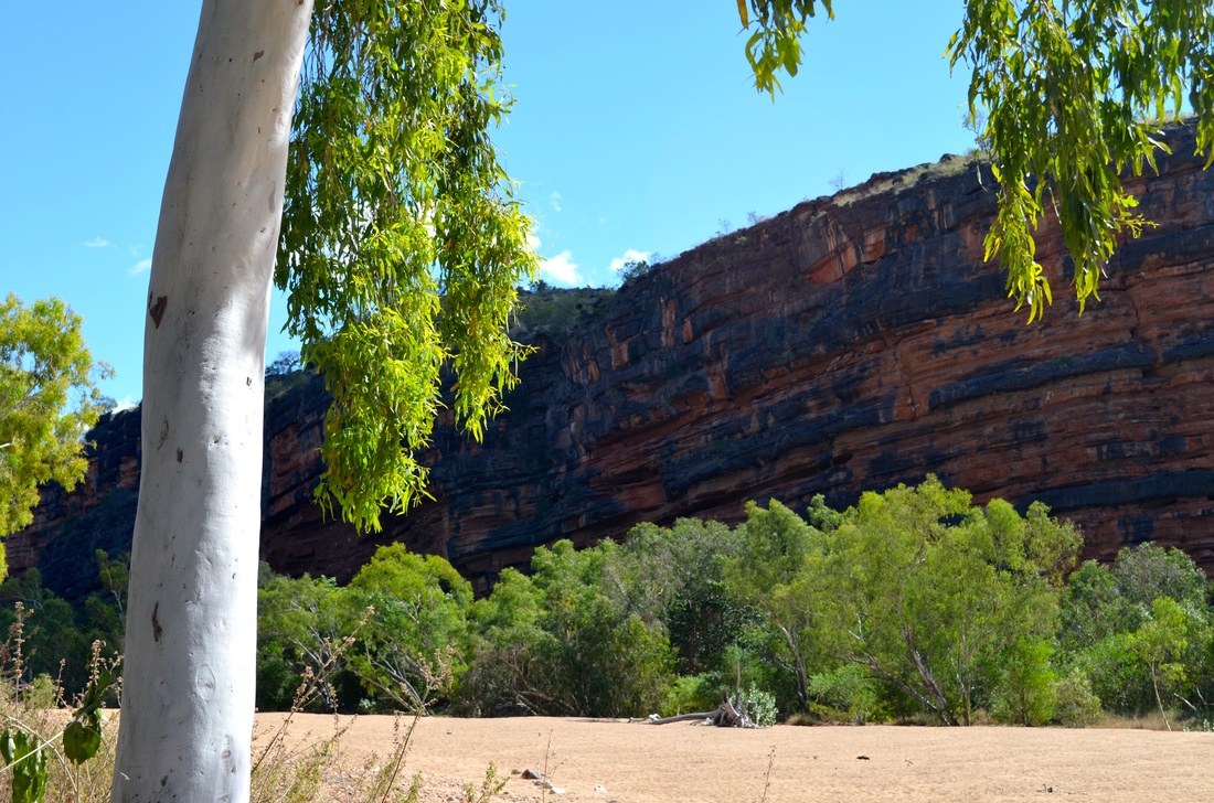
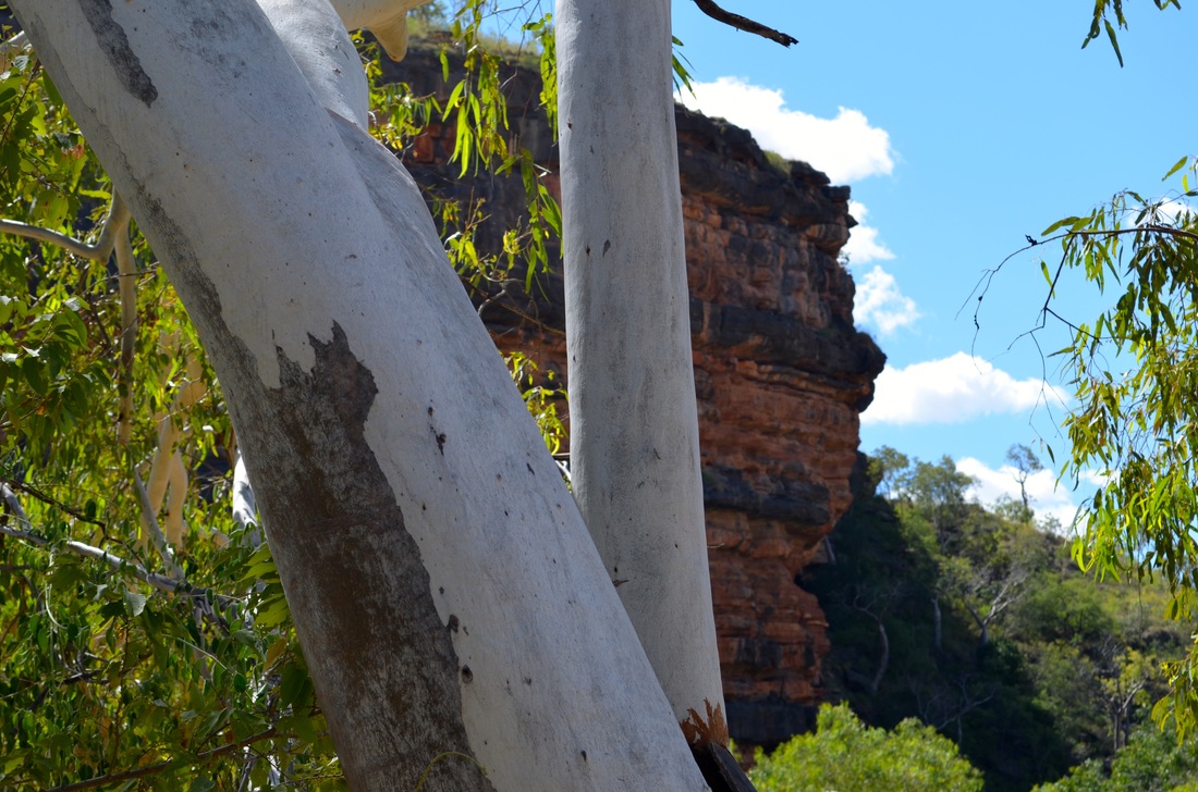
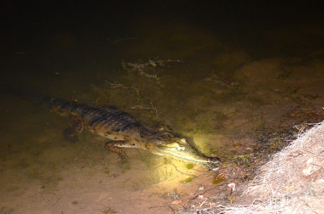
Windjana Gorge on the Richenda River has water, however, is not the place to cool off. It teems with fresh water crocodiles. We are assured that "freshies" as they are affectionately known, are not at all dangerous!
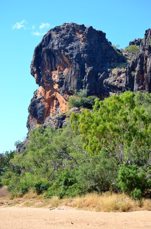

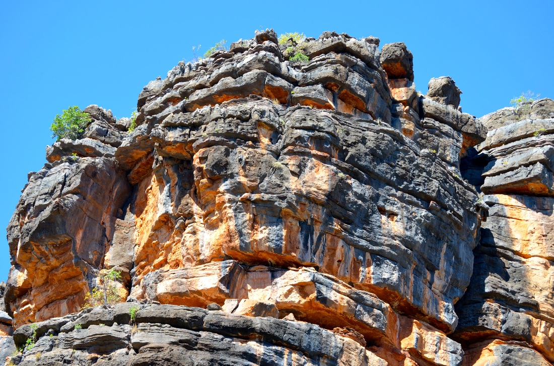

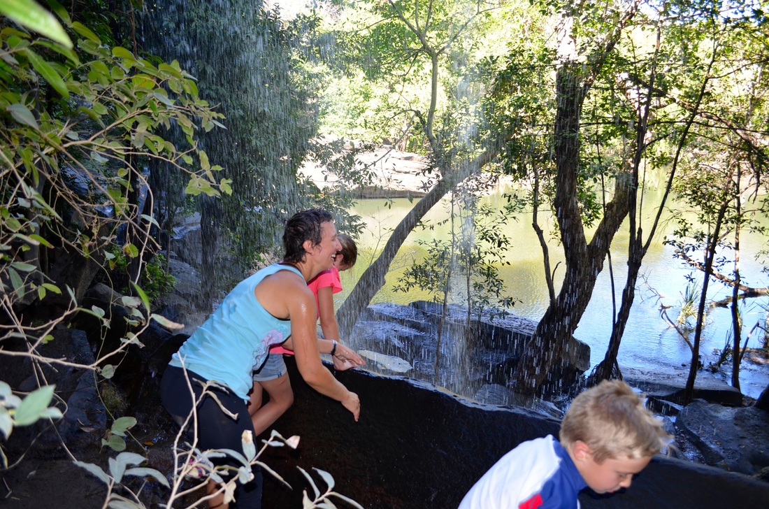
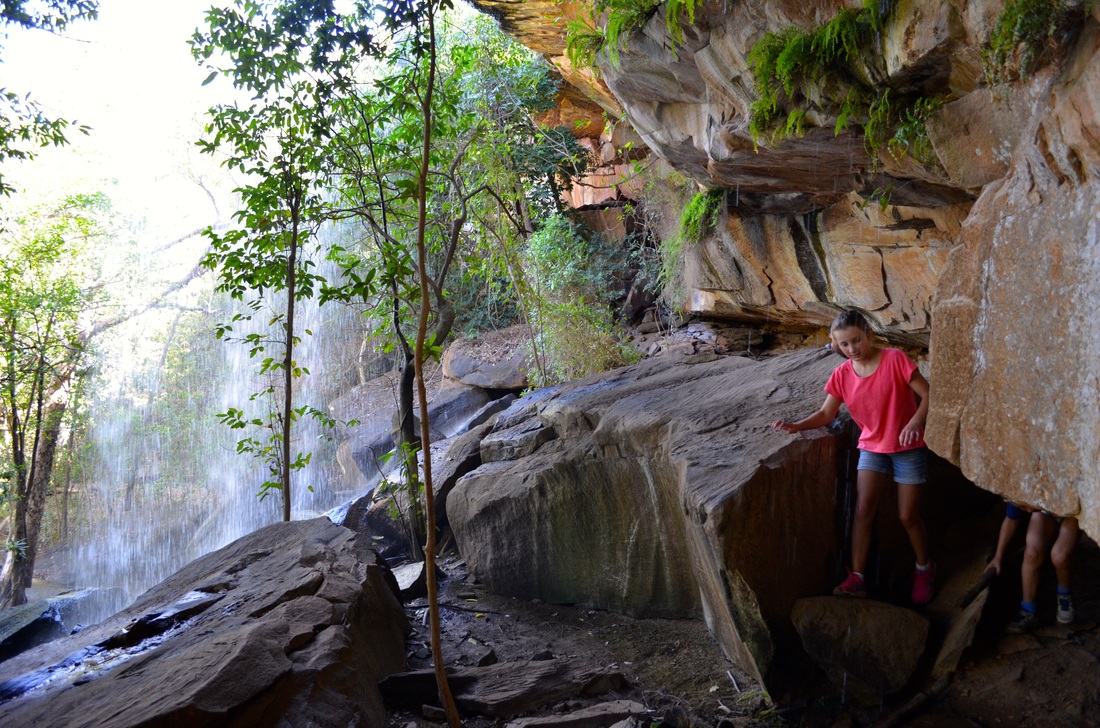
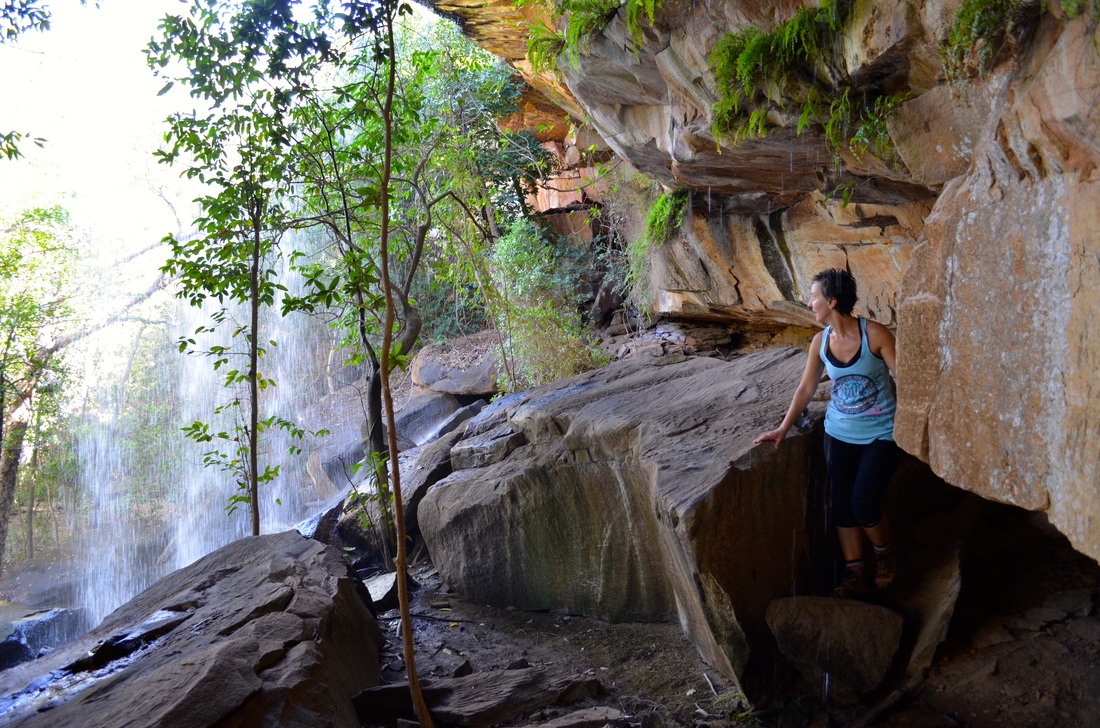
After meeting the Gibb River Road we headed east. The road was surprisingly good. Next stop was Bell Gorge

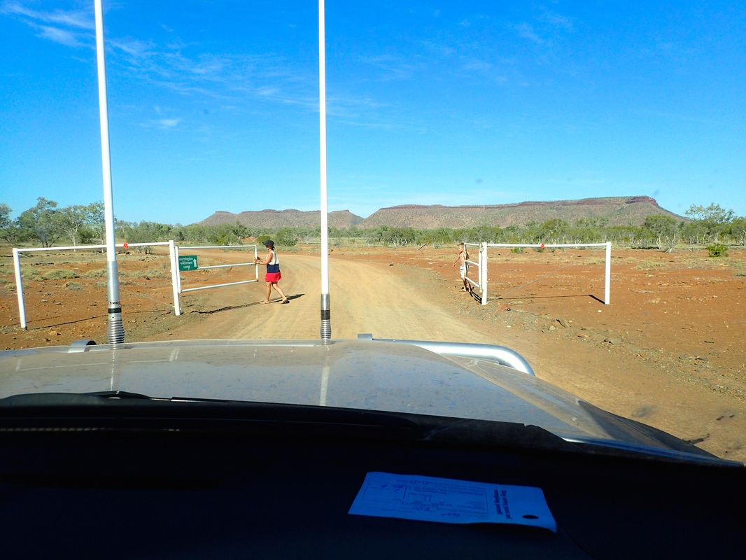
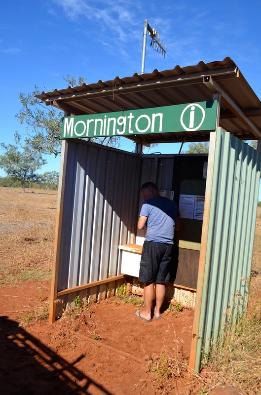
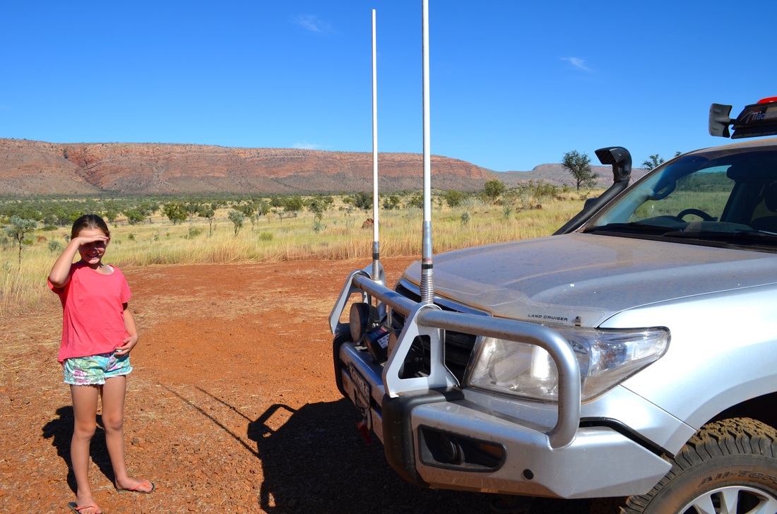
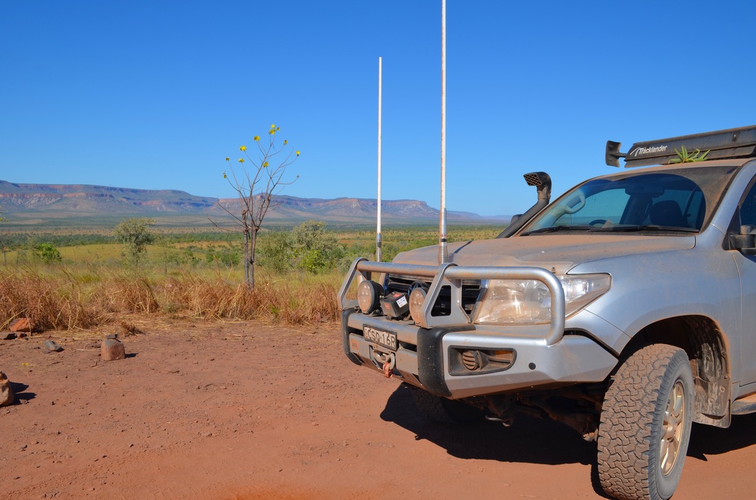
Mornington Wilderness Camp is 88km off the Gibb River Road which takes about two hours to drive. As such they have installed a UHF radio at the Gibb turn off so you can check there is room at the camp. We have heard of people calling in for days before there is a spot available. We were lucky - first try!
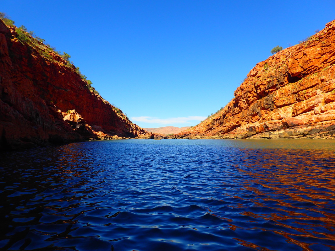
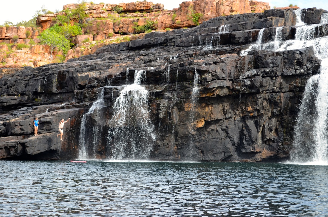
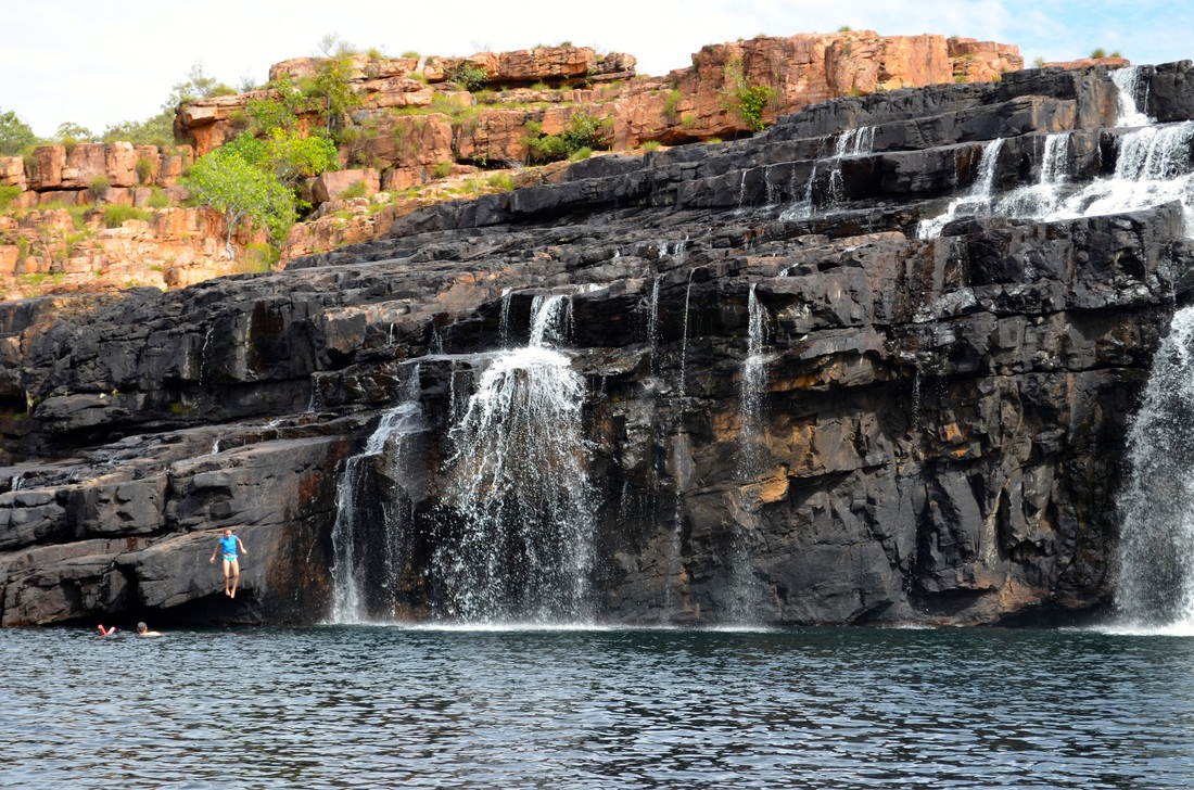
The camp is located within 6000 square kilometres of land owned and managed by a private not for profit organisation, the Australian Wildlife Conservancy (AWC). Their work is fascinating. Their main concerns appear to be land management through controlled fire and reduction of the impact of feral cats and hard hoofed herbivores. Their land also contains some spectacular gorges including Sir John Gorge and Diamond Gorge.
The camp is located within 6000 square kilometres of land owned and managed by a private not for profit organisation, the Australian Wildlife Conservancy (AWC). Their work is fascinating. Their main concerns appear to be land management through controlled fire and reduction of the impact of feral cats and hard hoofed herbivores. Their land also contains some spectacular gorges including Sir John Gorge and Diamond Gorge.


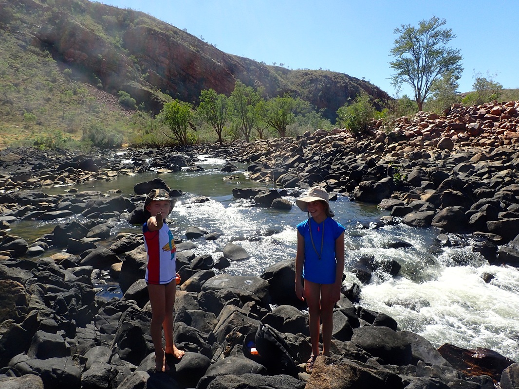

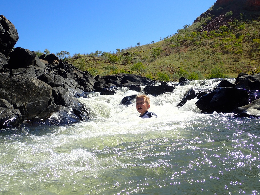


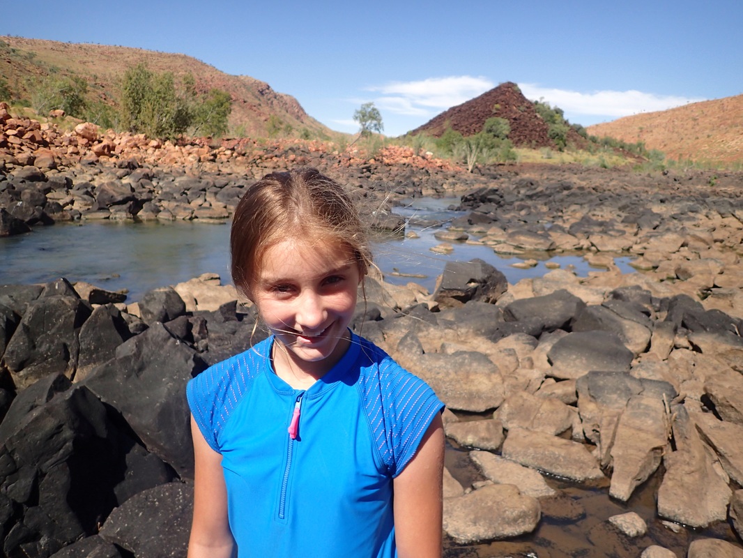


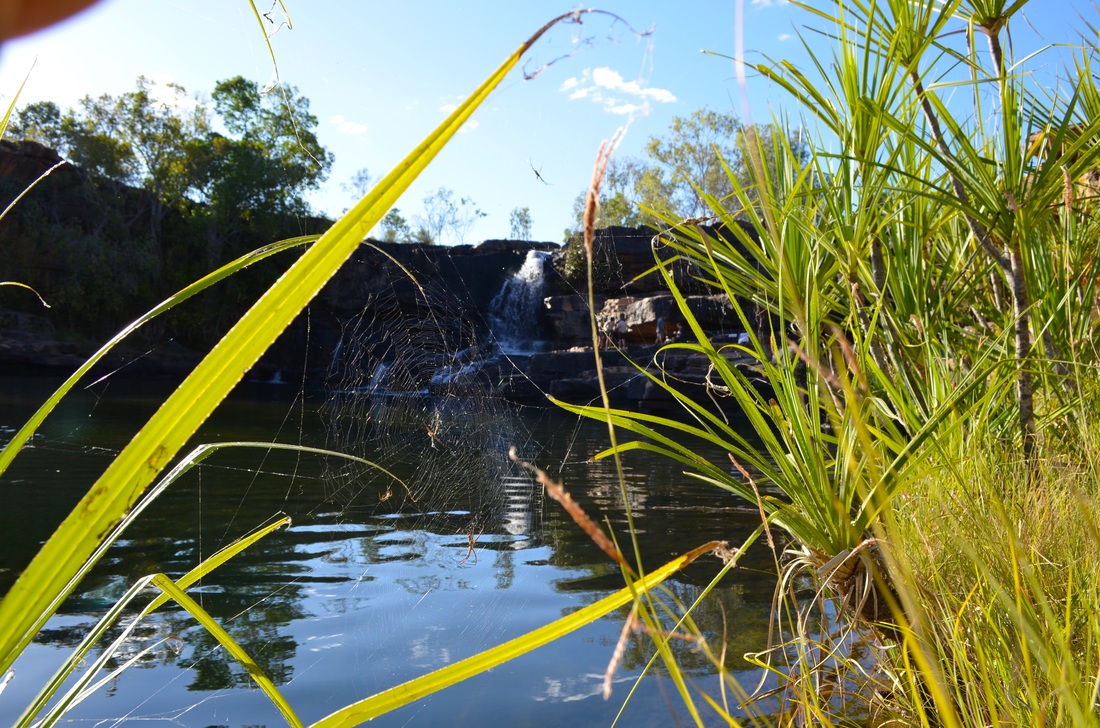
Charley River Station is another property owned and managed by the AWC and about 30km on the north side of the Gibb. This is a less visited area and the attractions are accessed by fairly rough tracks. It is very picturesque and probably our favourite place on the Gibb. There are three main attractions which we went to; Donkey Pool, Lily Ponds and Grevillia Falls. It seems the more difficult the place is to get to the more we love it.
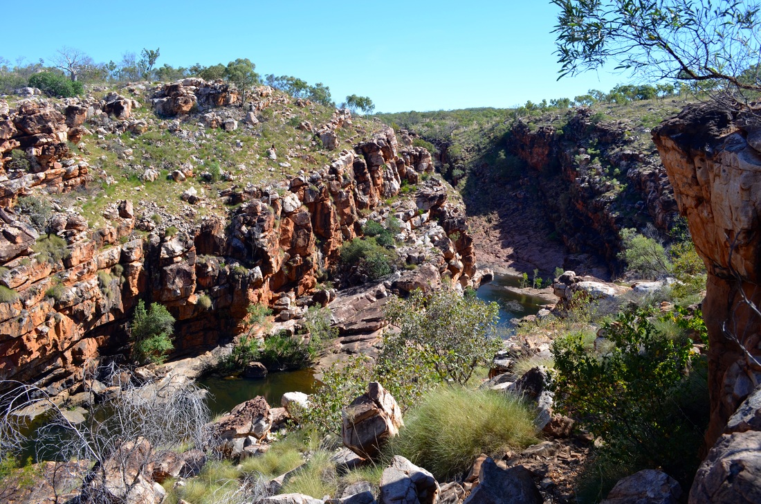
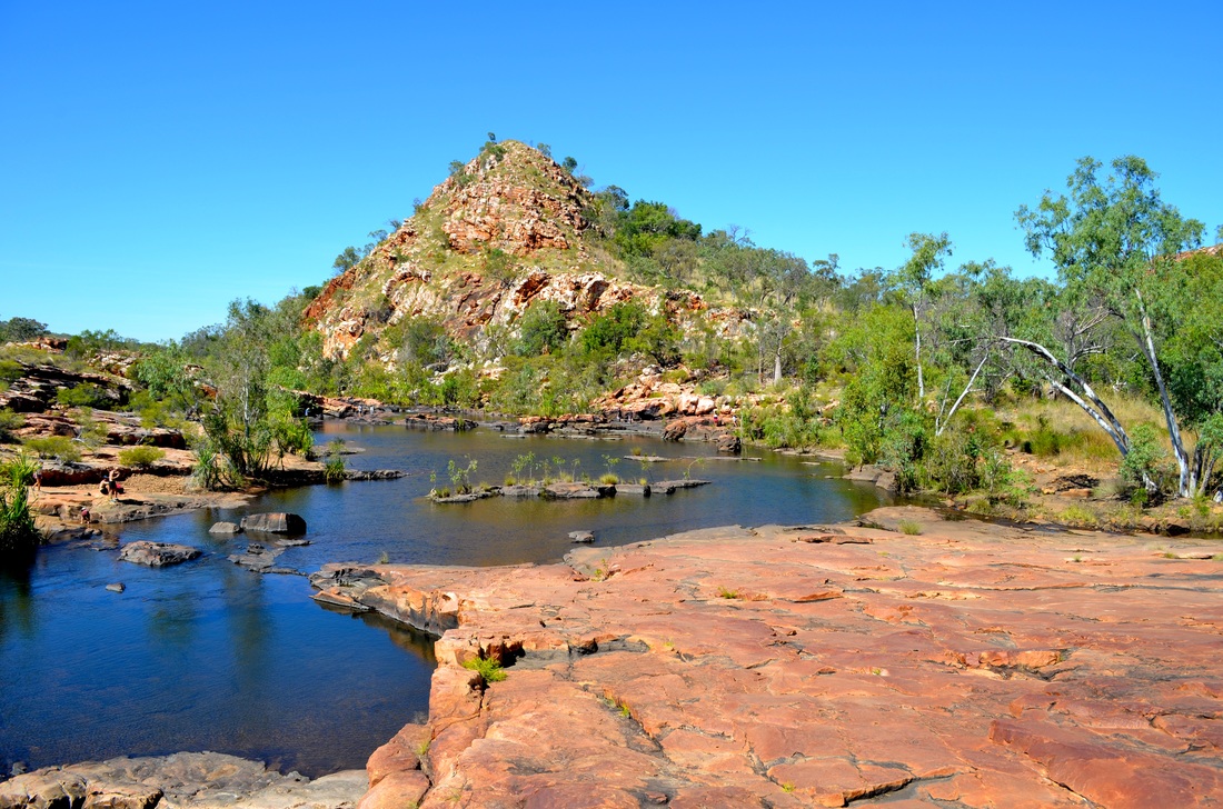
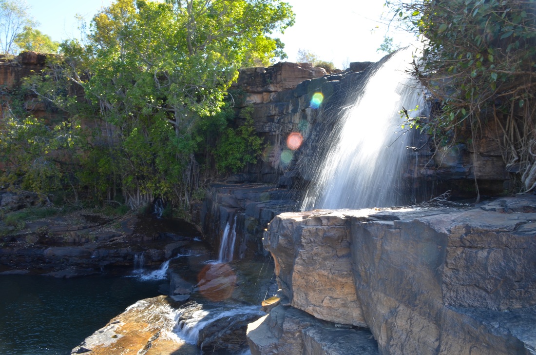
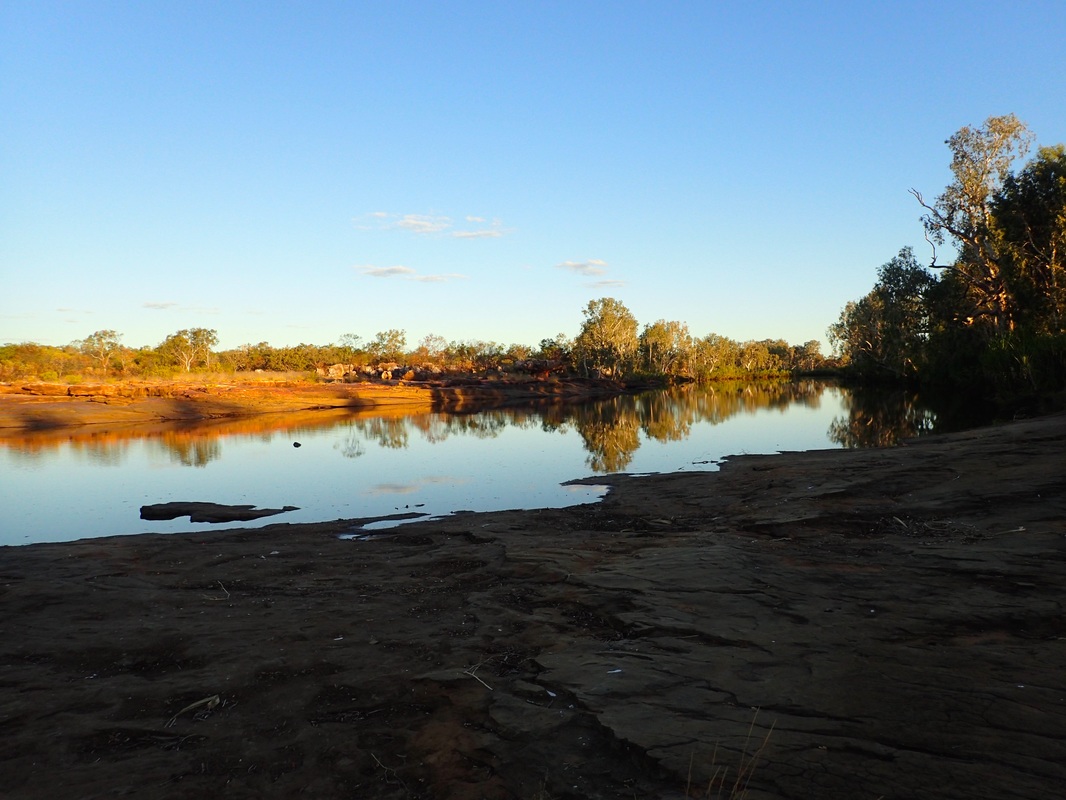
Back on the Gibb, the next stop was Adcock Gorge, then Galvans Gorge.


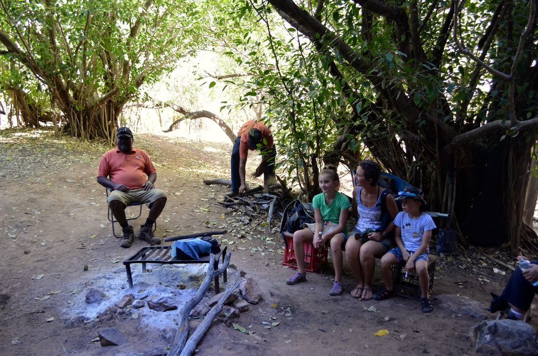
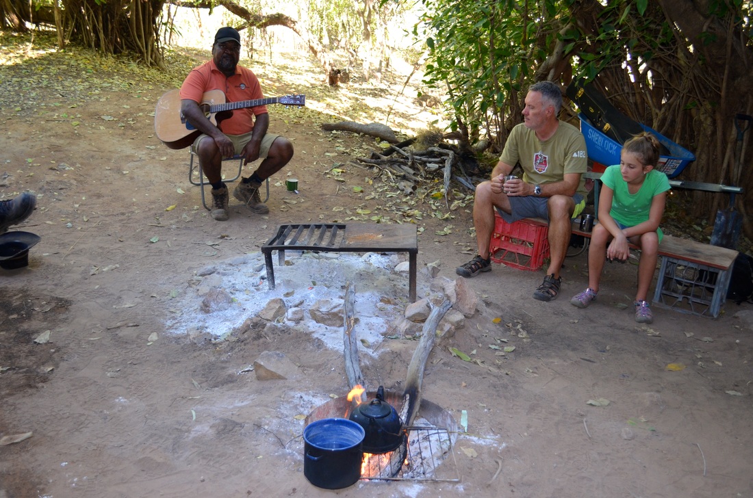
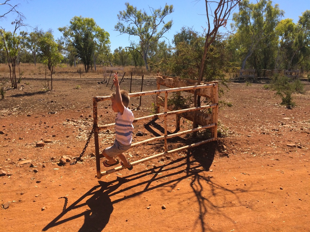
Harry entertaining us ...
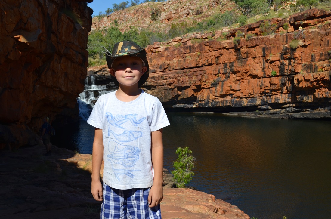
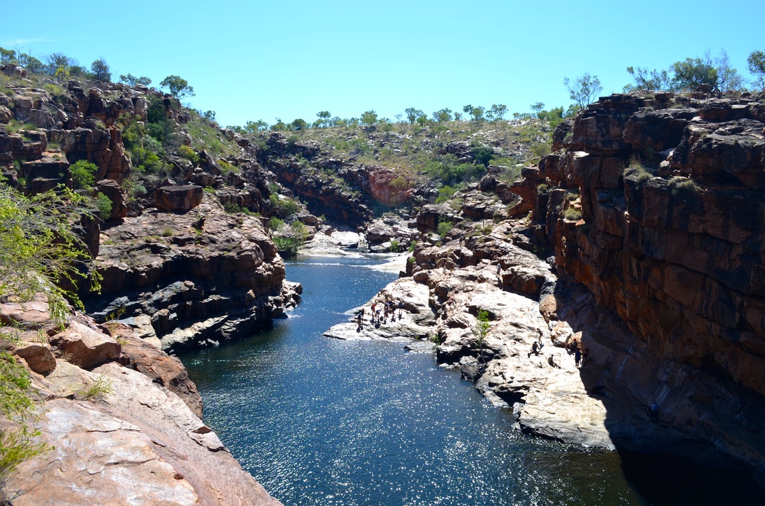
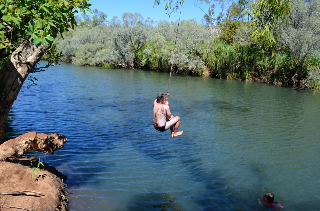
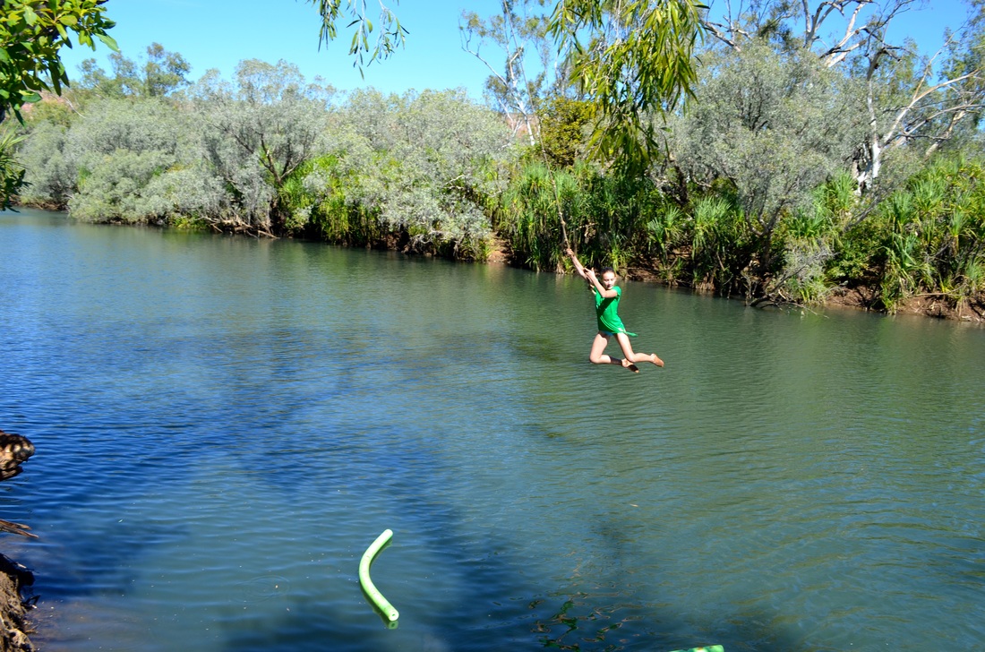
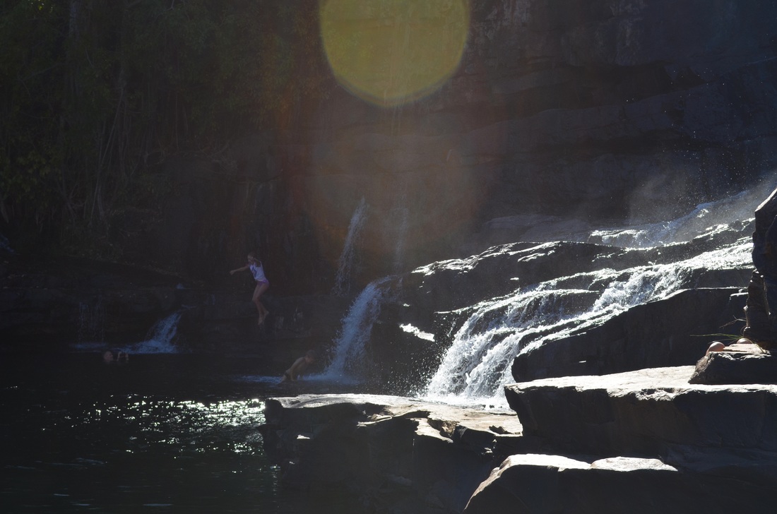
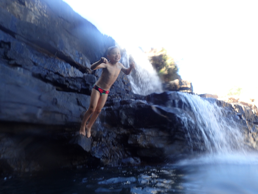
Manning Gorge is one of the gorges for which the Kimberley is famous. A novelty is that the walk in starts with a rope pull tinny ride across Manning Creek. Kids are entertained for hours ferrying people back and forth. Manning Gorge is just up the road from Mount Barnett Roadhouse which is the main fuel stop and in about the middle of the Gibb. The problem when we were there was that they had run out of diesel and the campground was packed with people waiting for the fuel truck - one of the joys of remote area travel but you could be stuck in worse places!

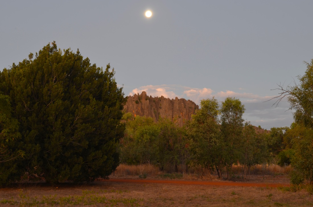
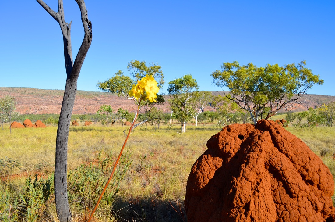
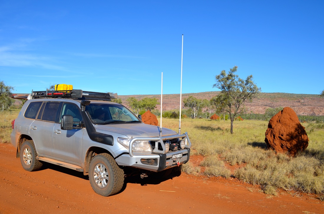
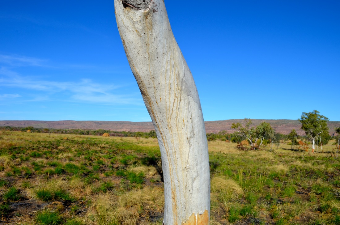
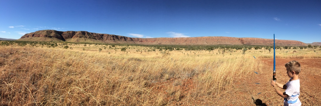
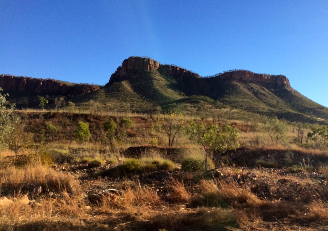
Mount Elizabeth Station
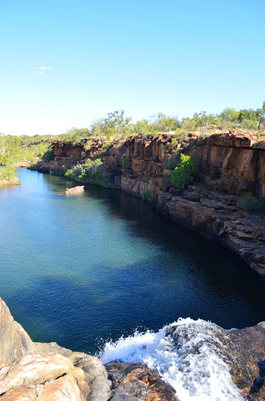
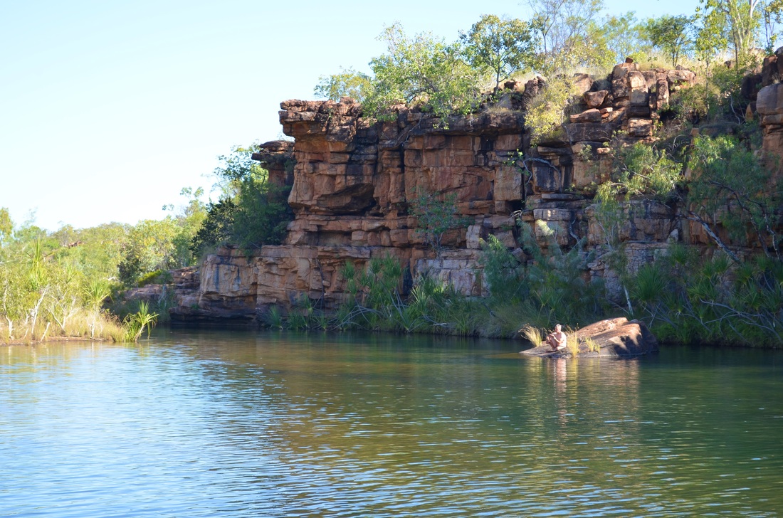
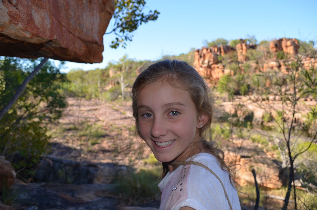


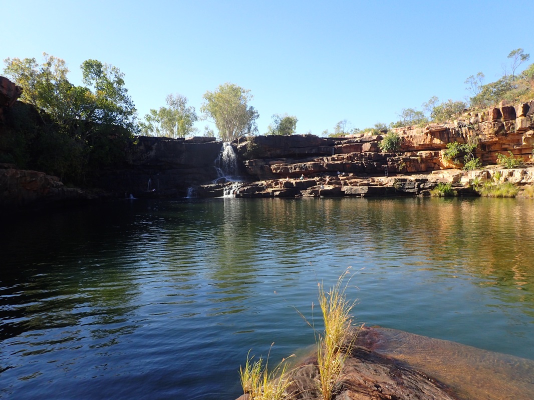


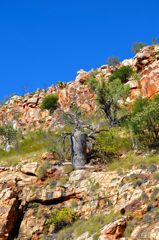
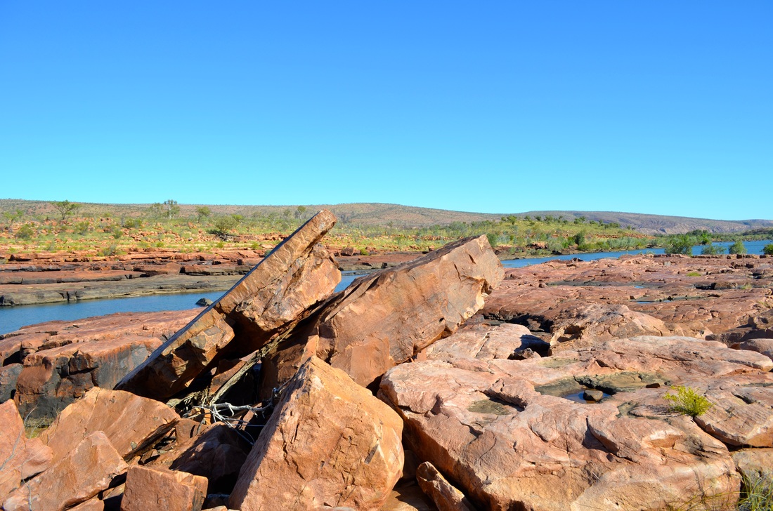
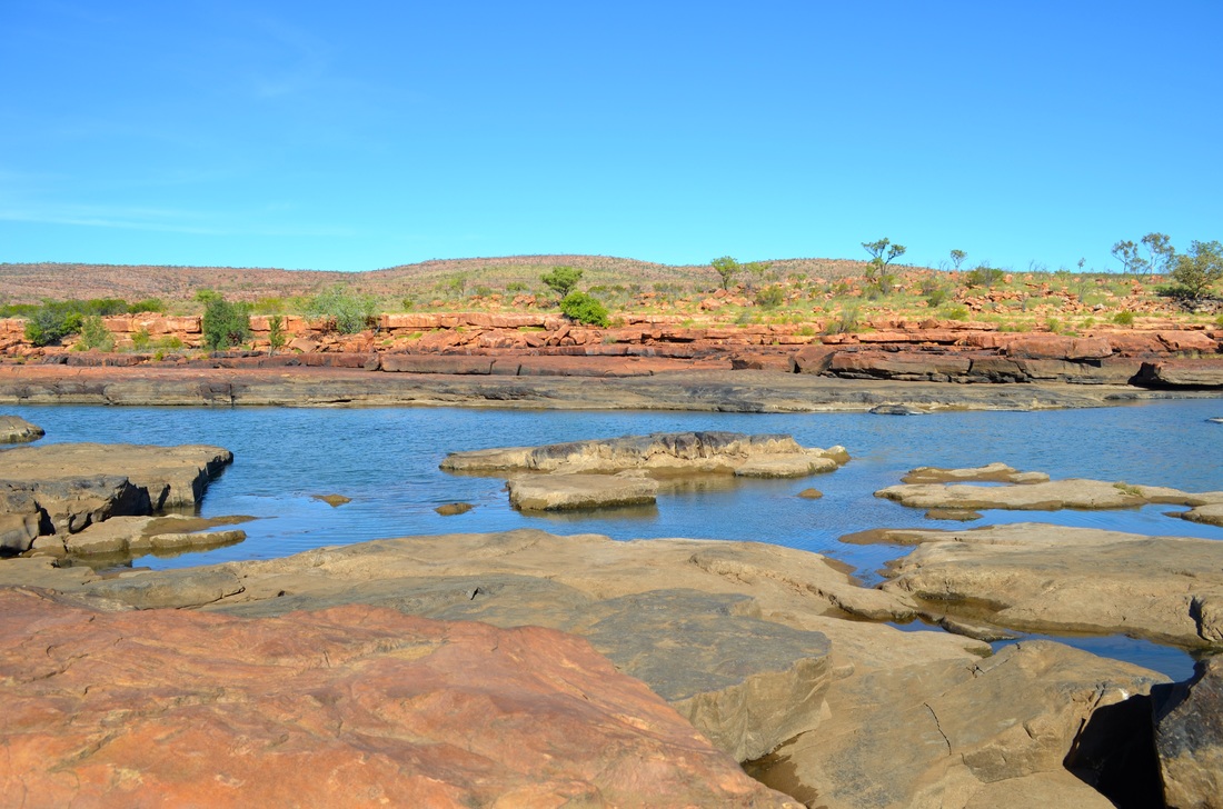
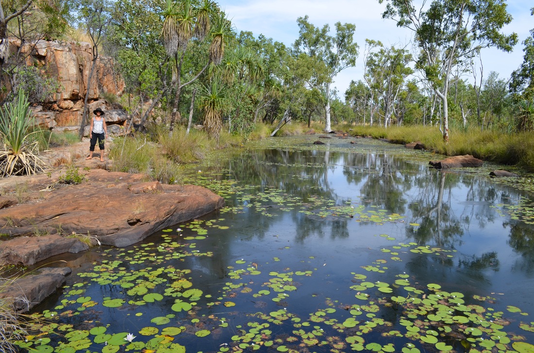
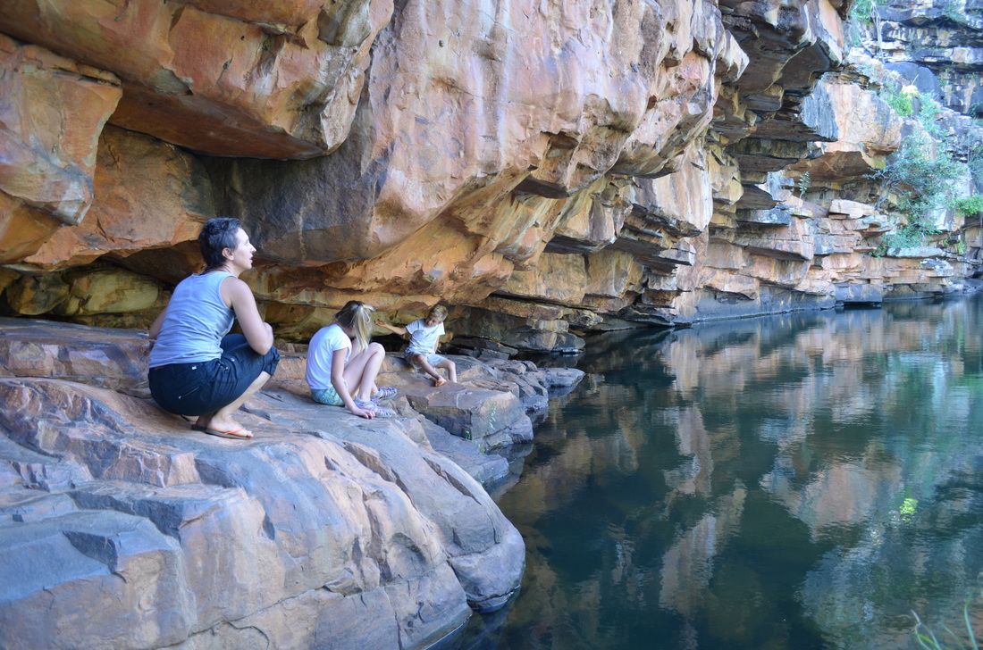
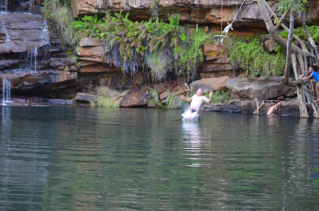
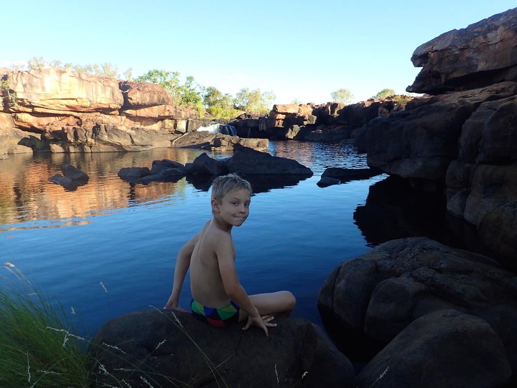
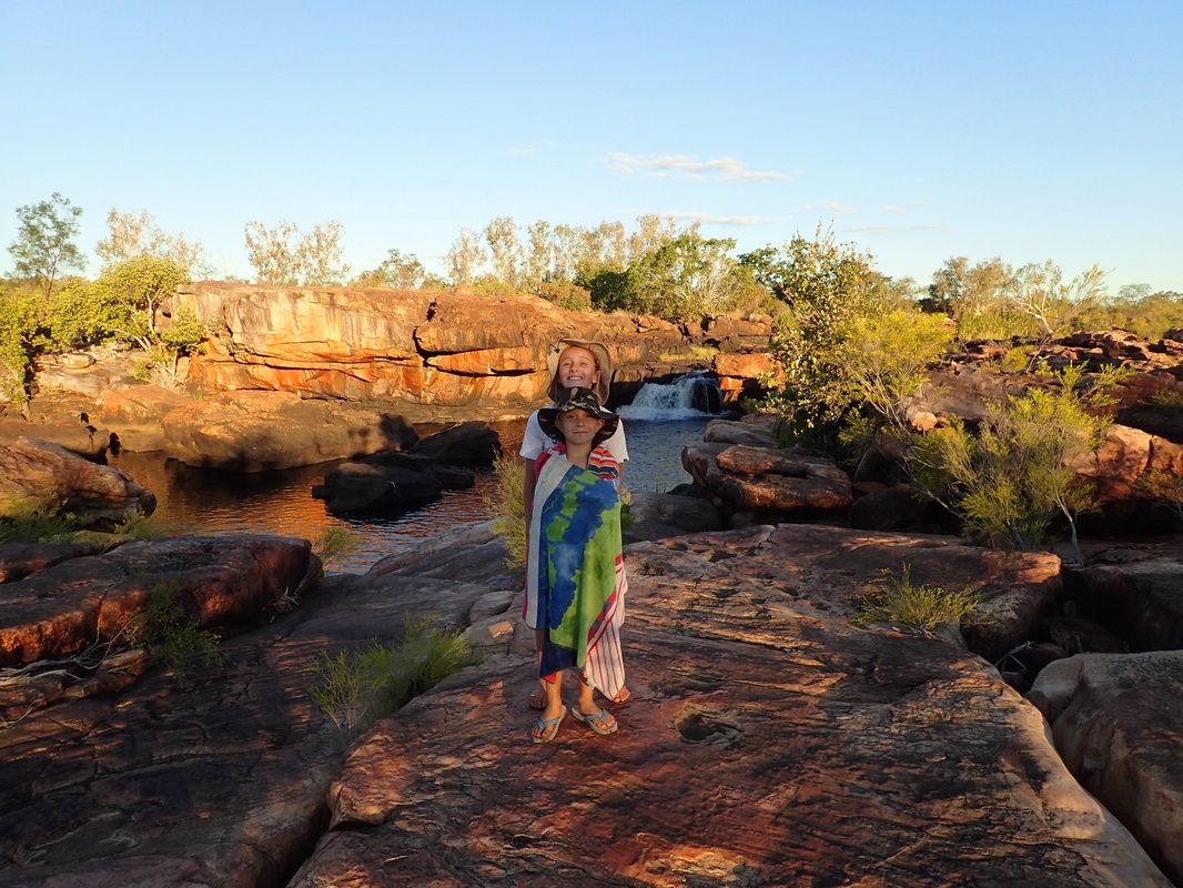
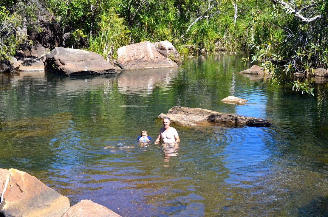
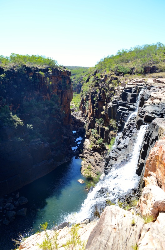
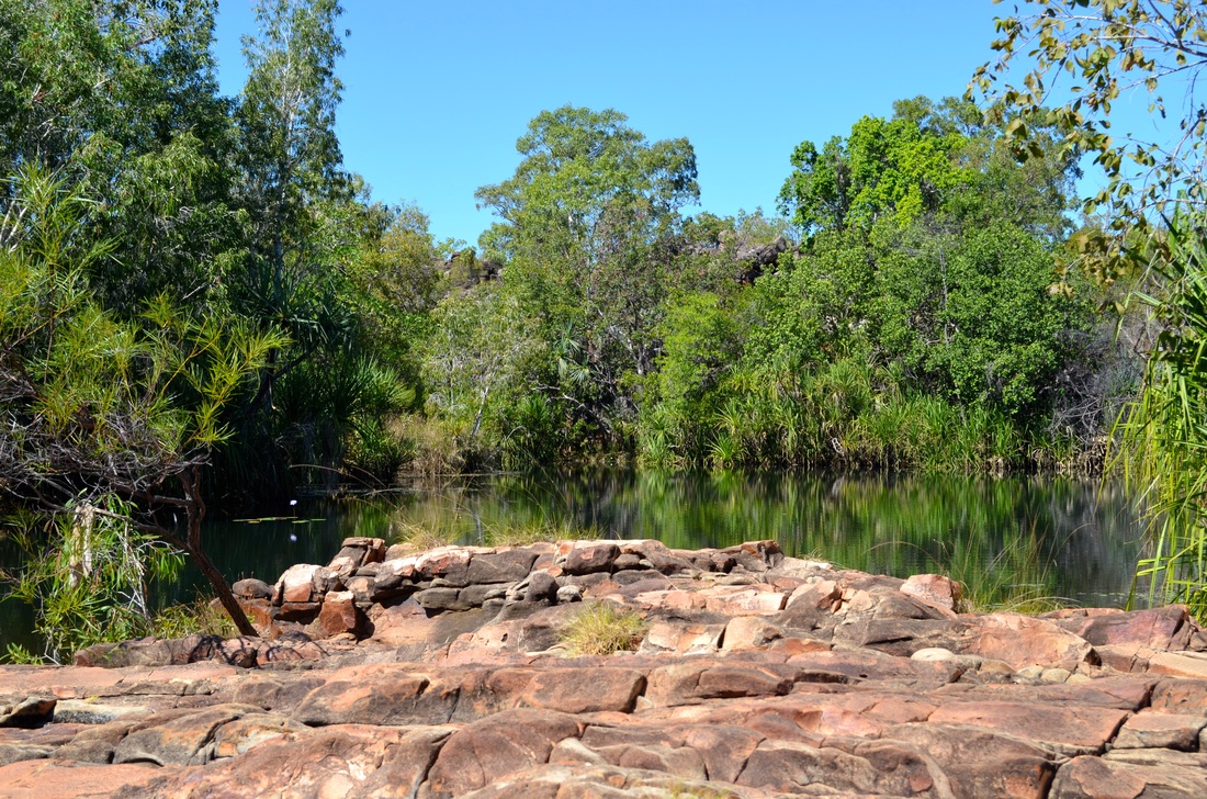
We took the Kalumburu Road to Mitchell Plateau and camped at King Edward River. The Kalumburu road was in far worse condition than the Gibb which is apparently now maintained by the WA State due to the amount of traffic it now carries. From here we did a day trip to see Mitchell Falls on the Mitchell River.
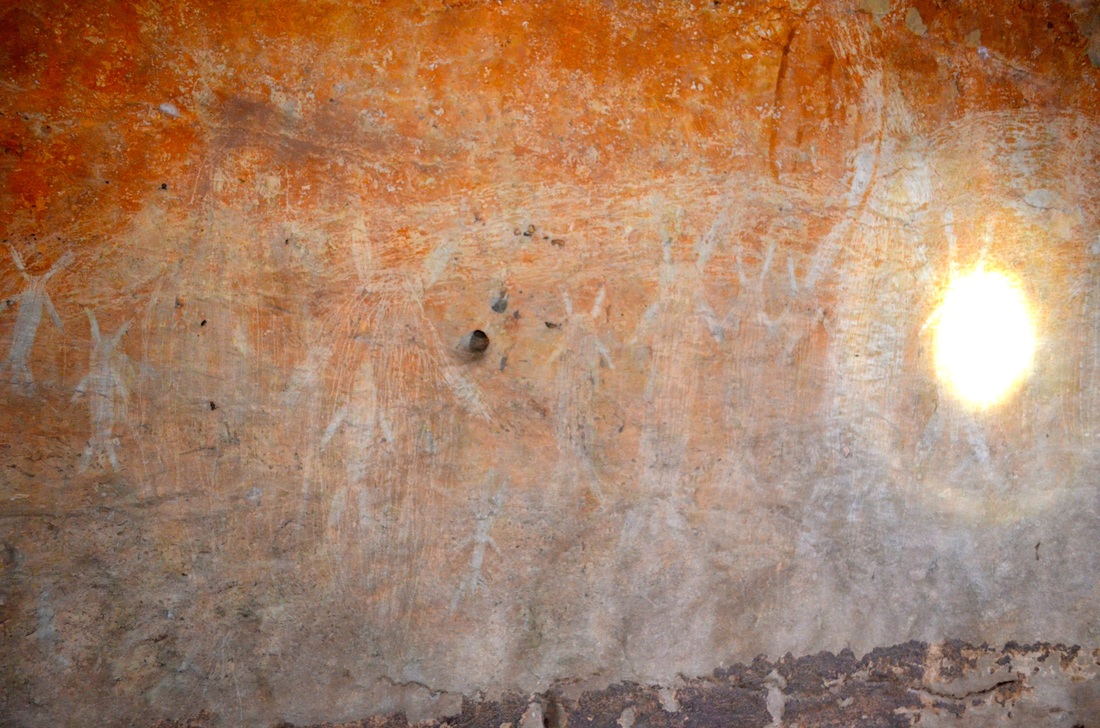
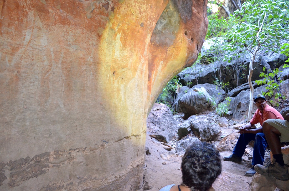
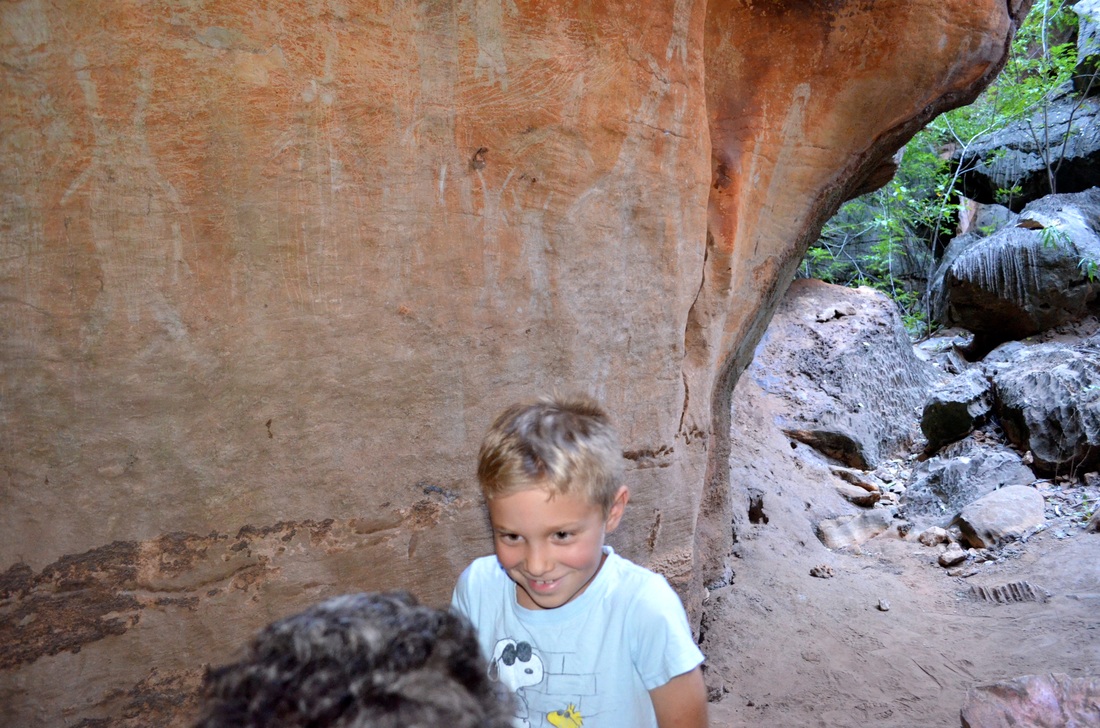
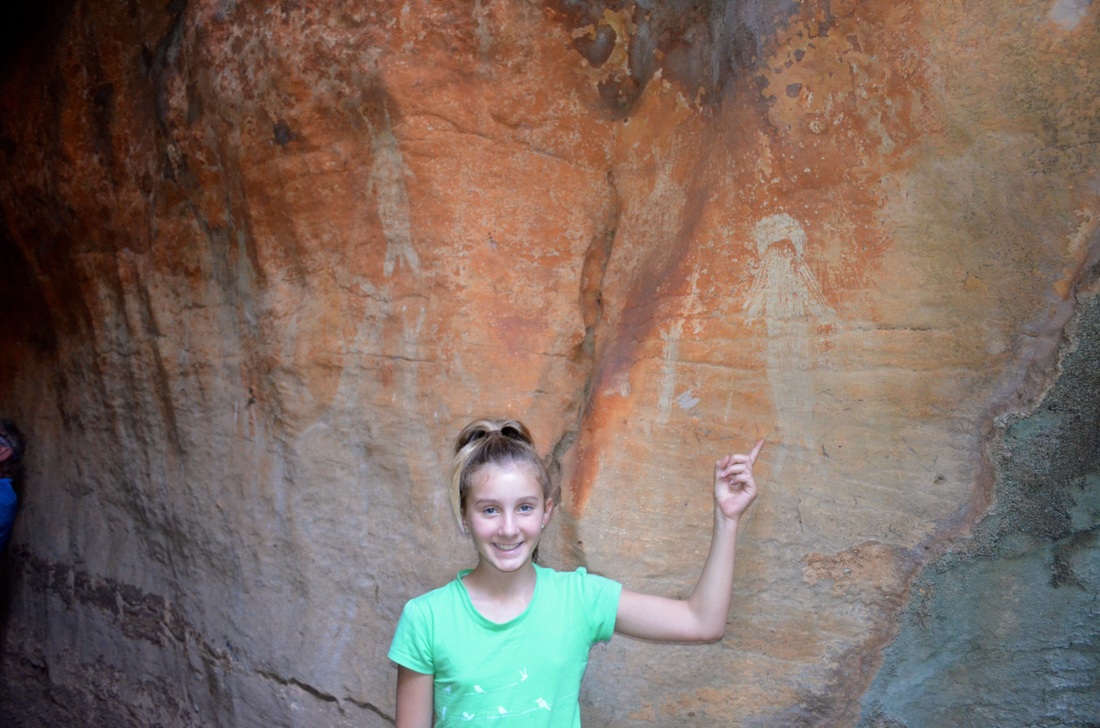
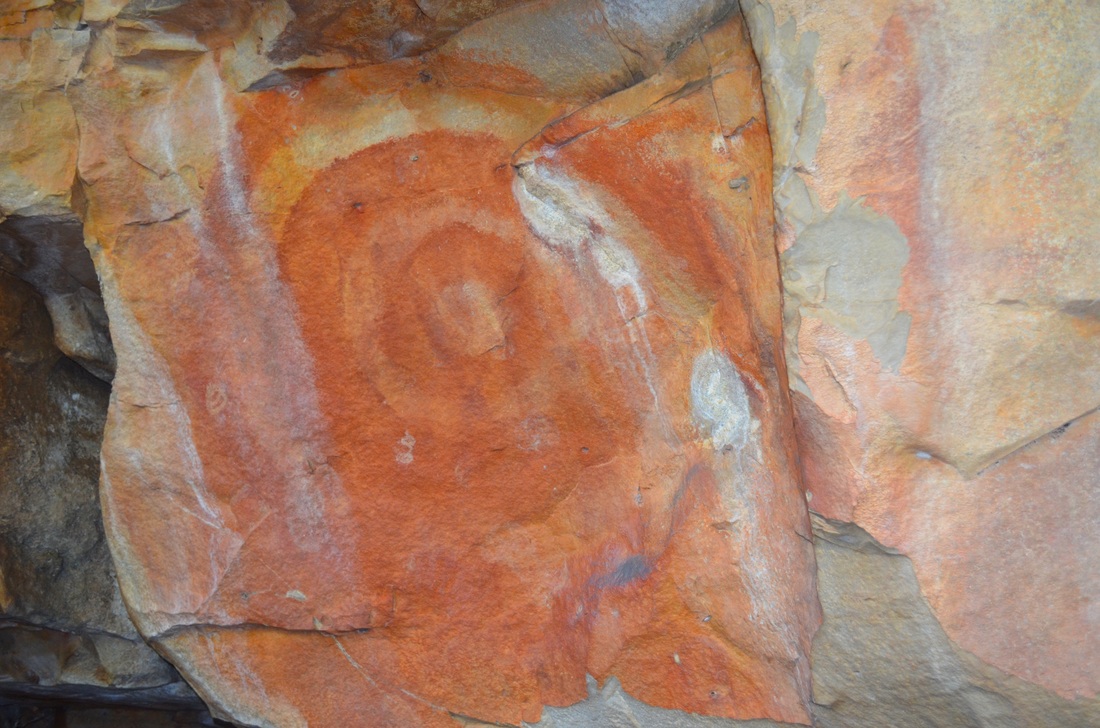
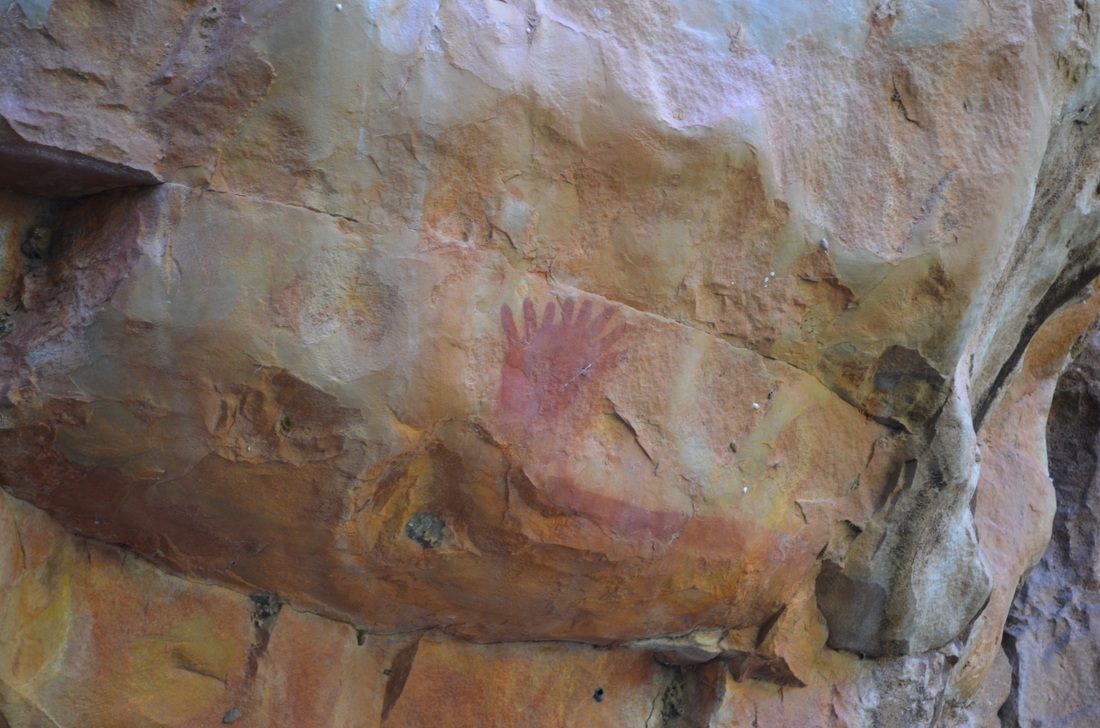
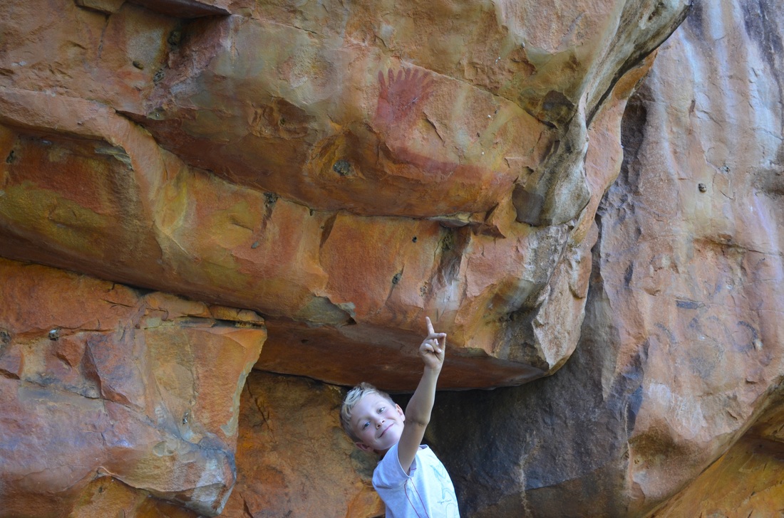
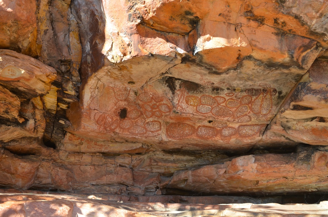
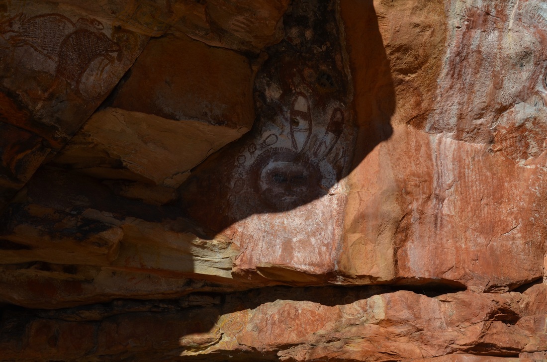
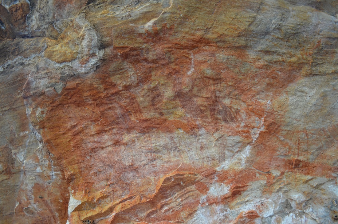
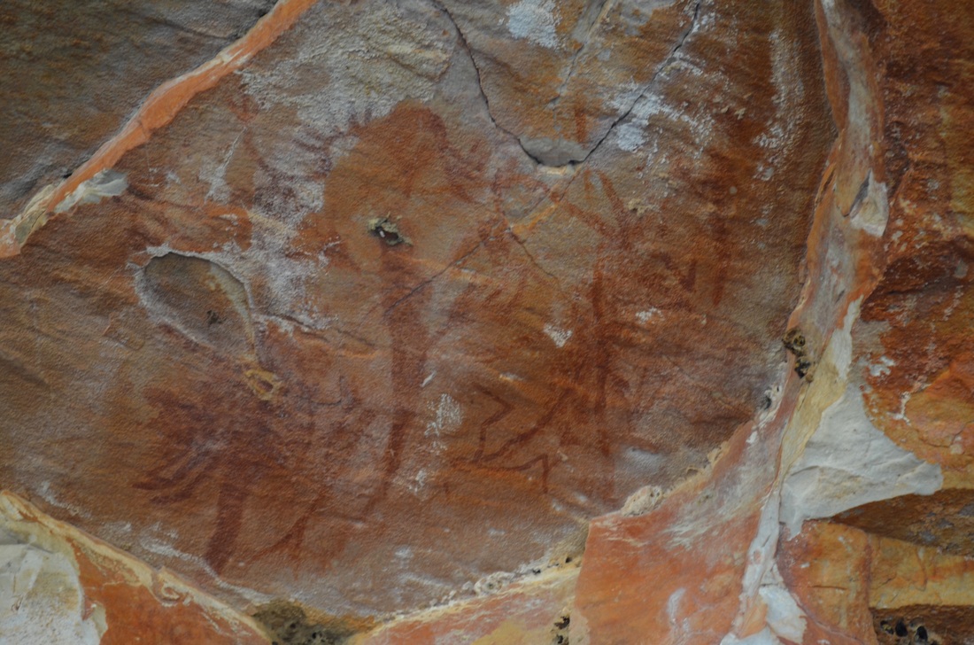
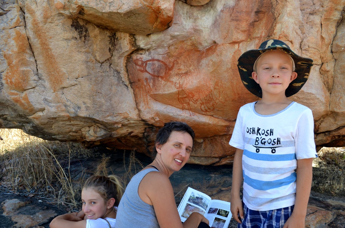
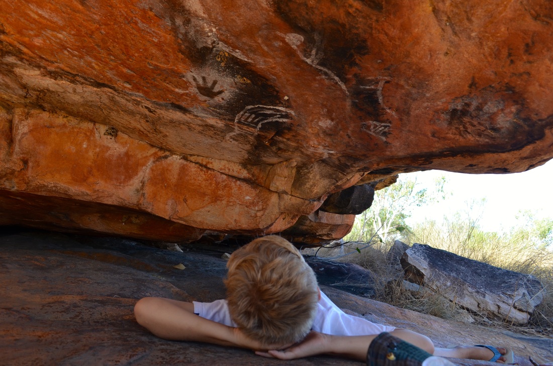
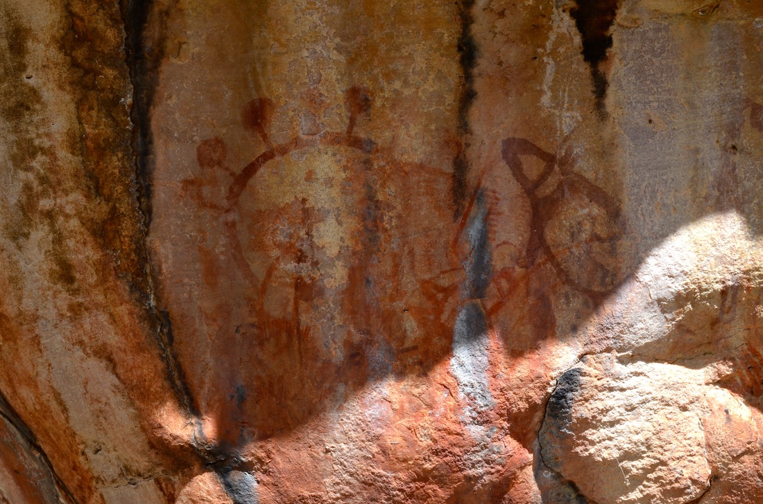
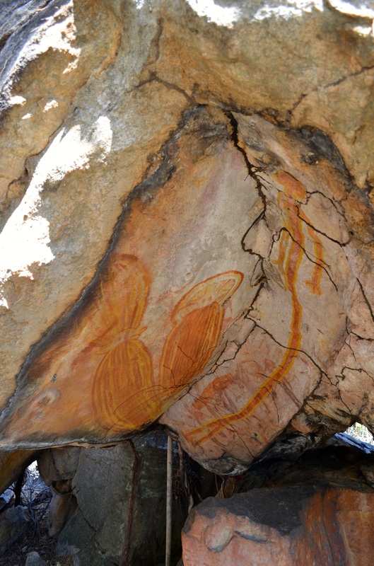
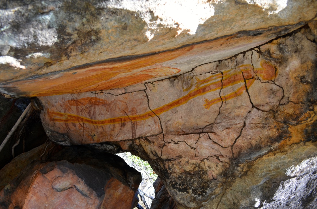
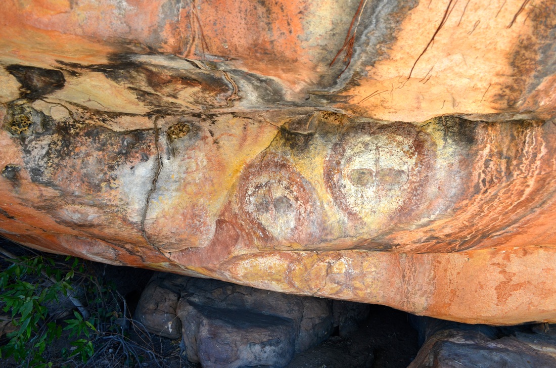
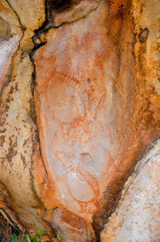
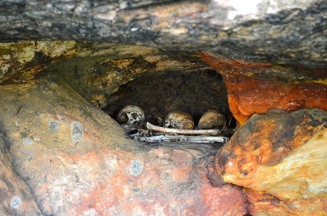
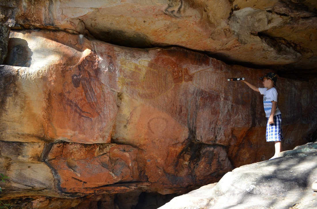
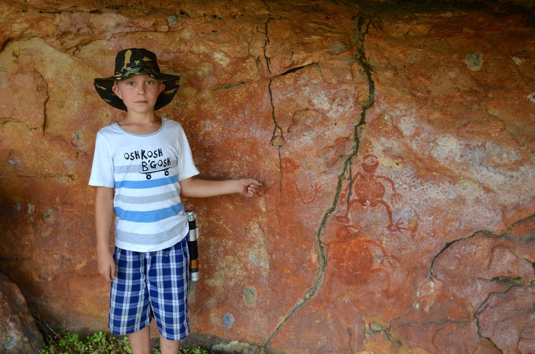
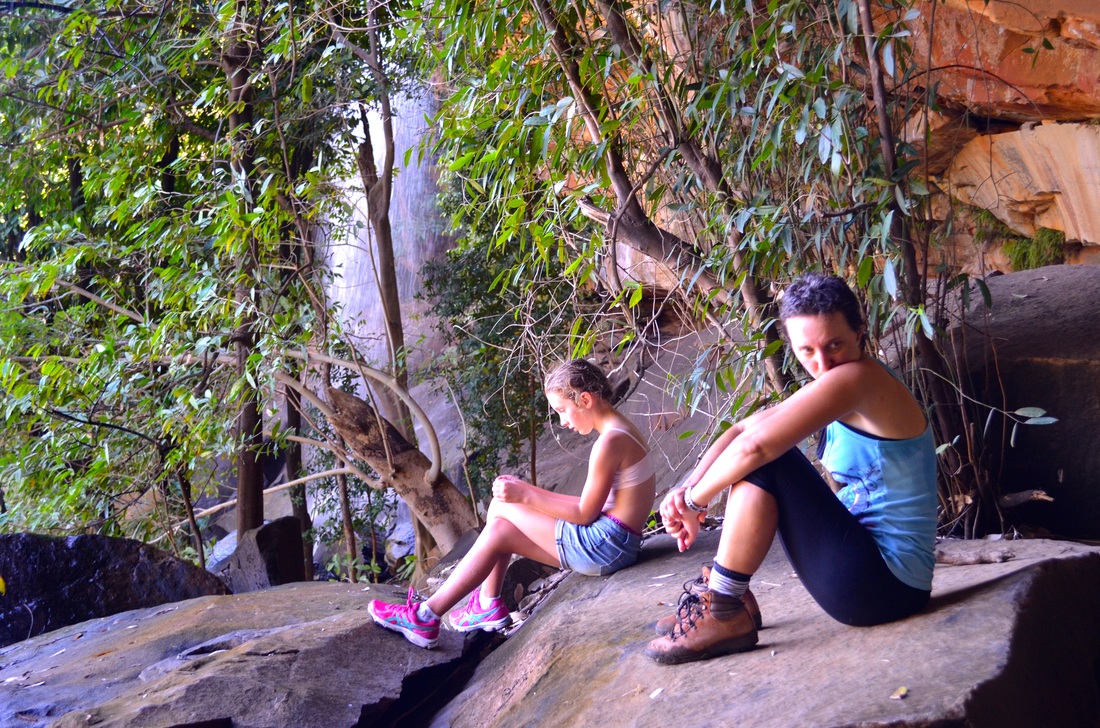
Just outside the King Edward River camp is the best aboriginal rock art site we have seen thus far.
Just outside the King Edward River camp is the best aboriginal rock art site we have seen thus far.


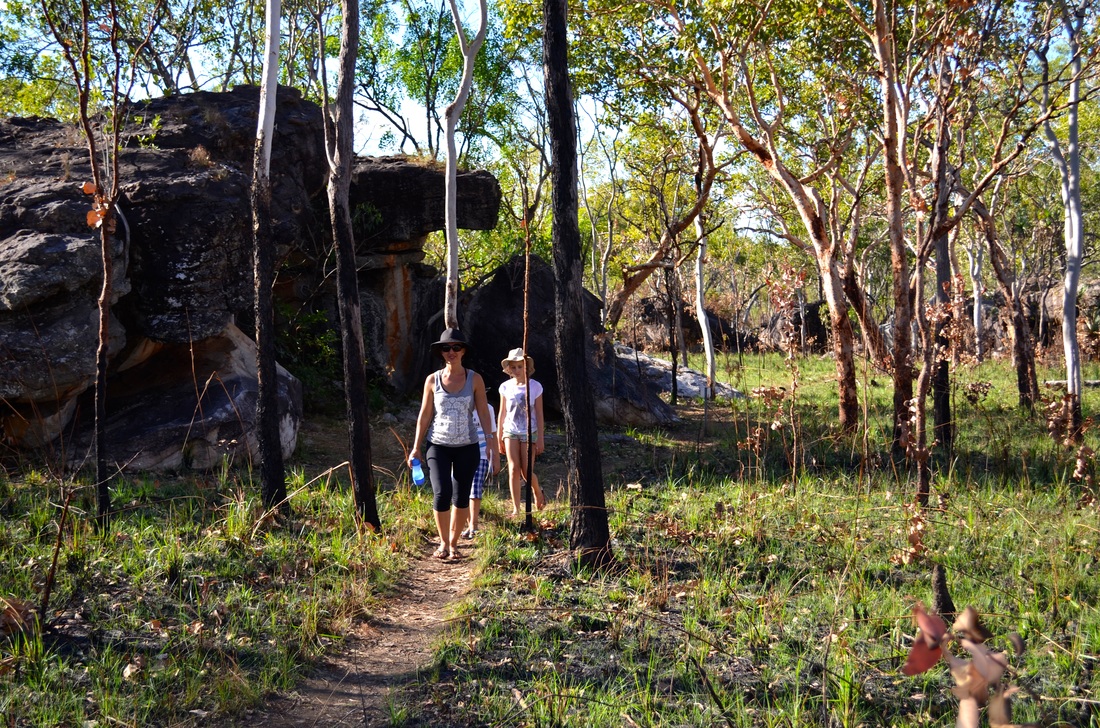
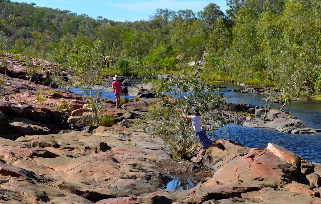
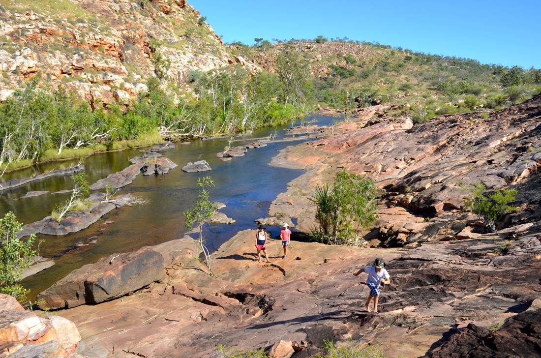
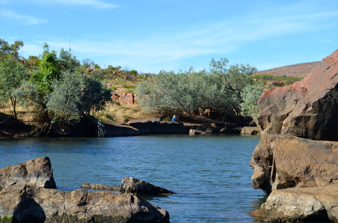
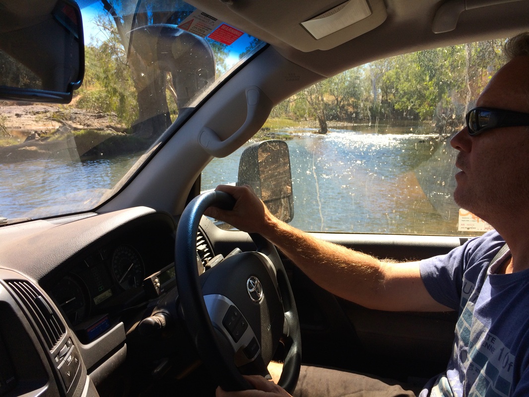
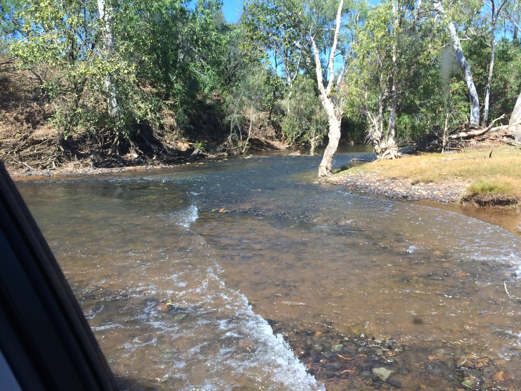
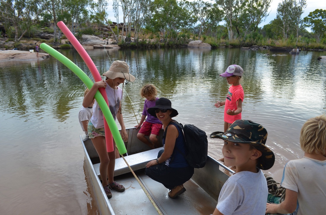
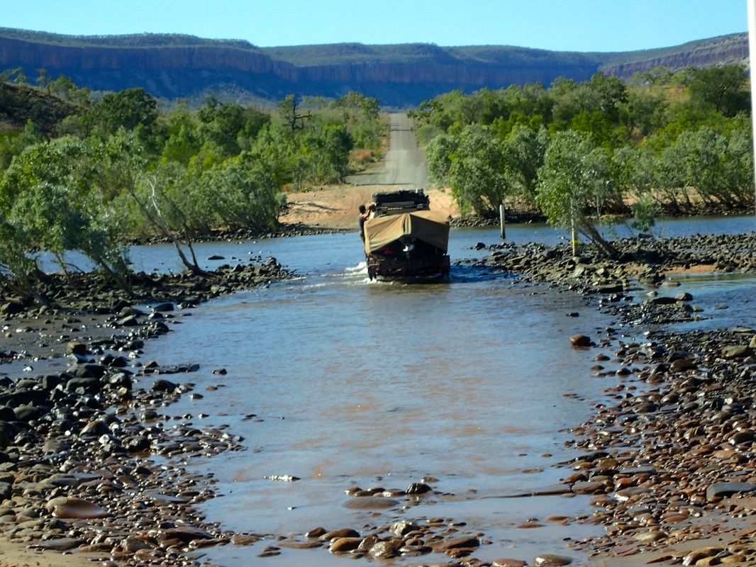
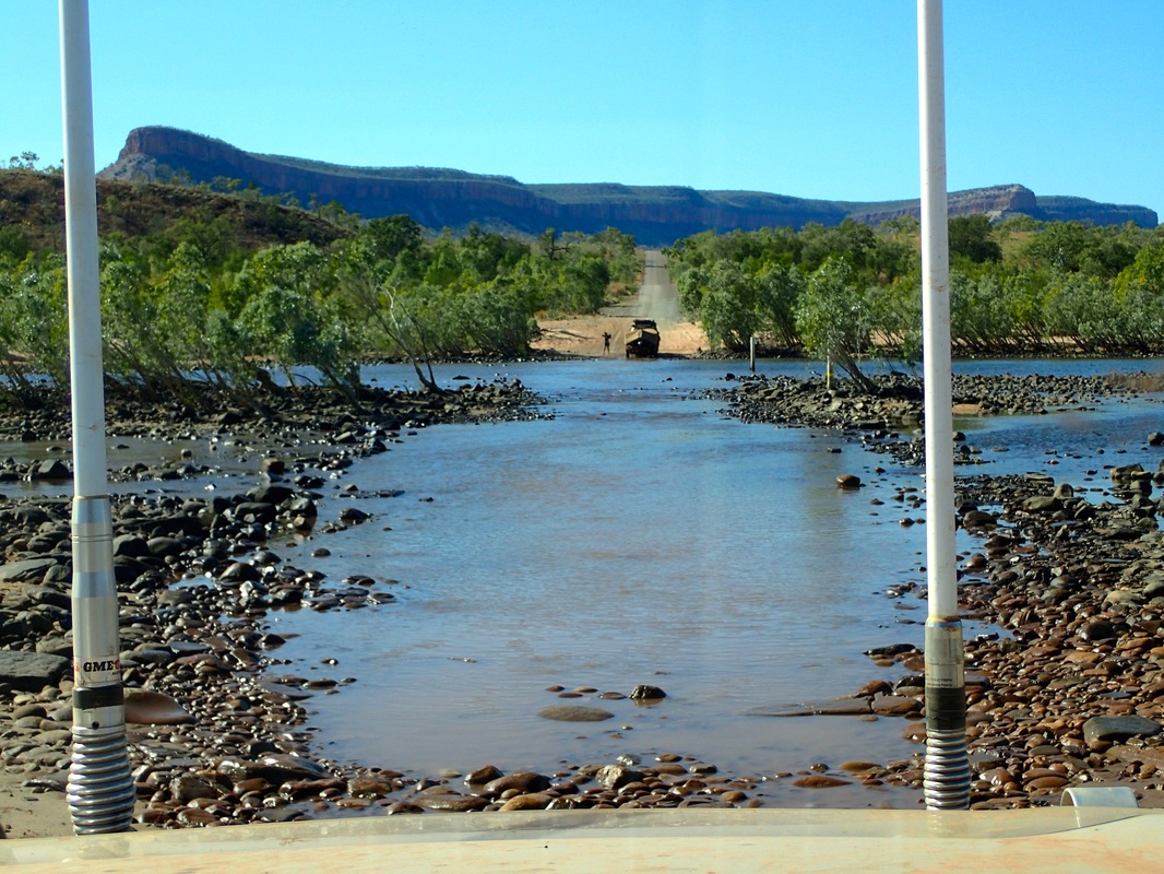
Crossing the King Edward River
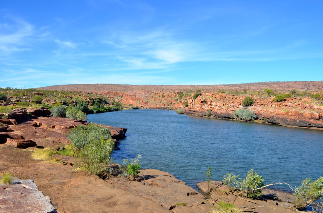
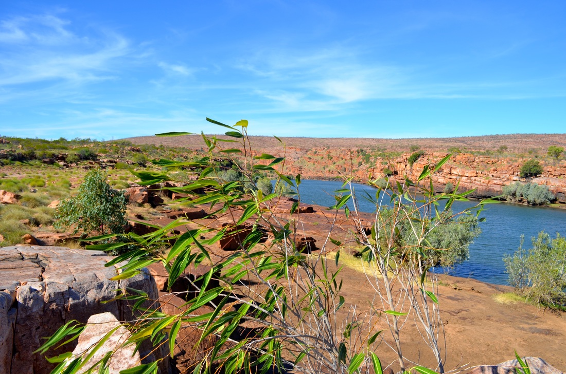
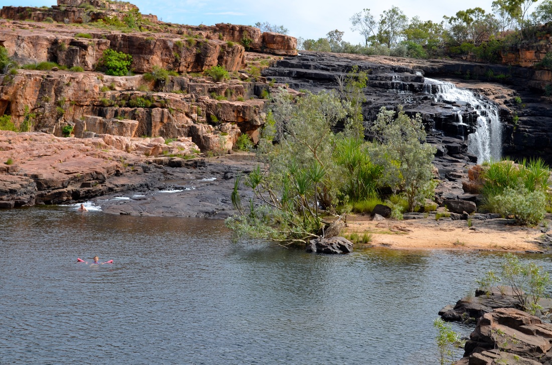
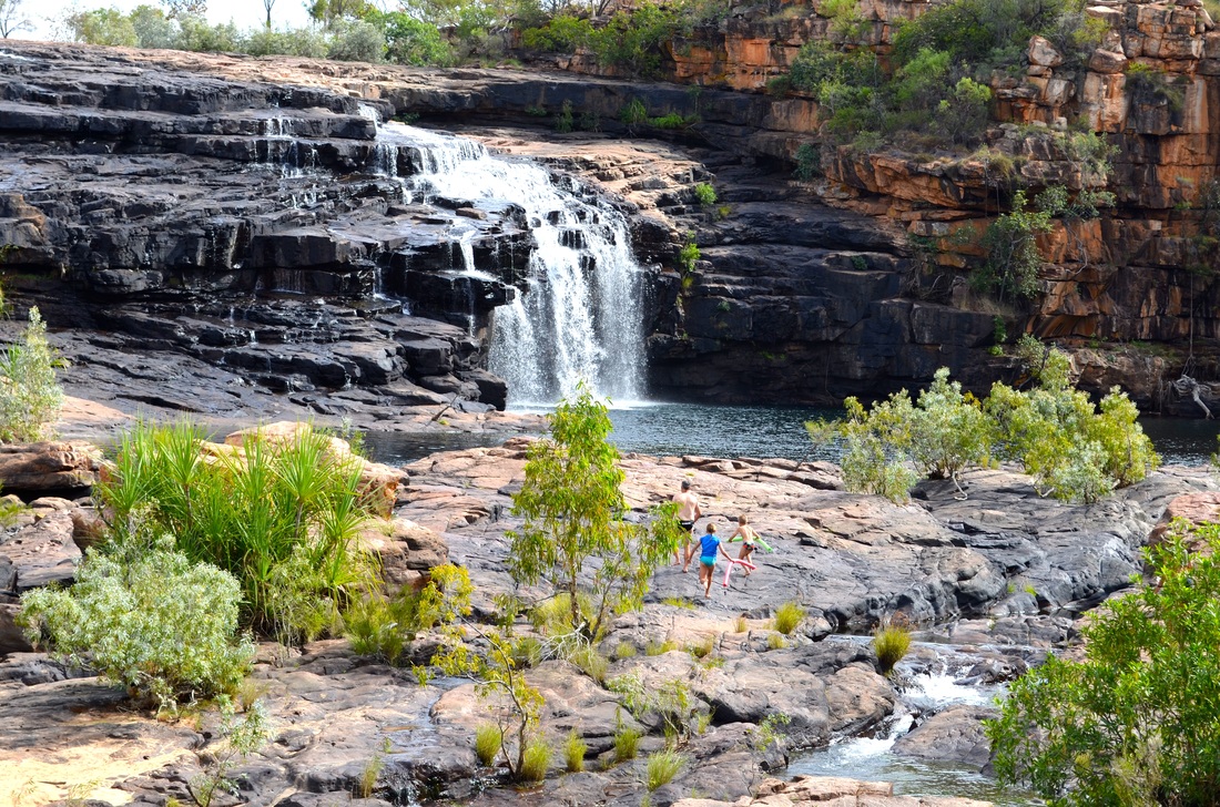
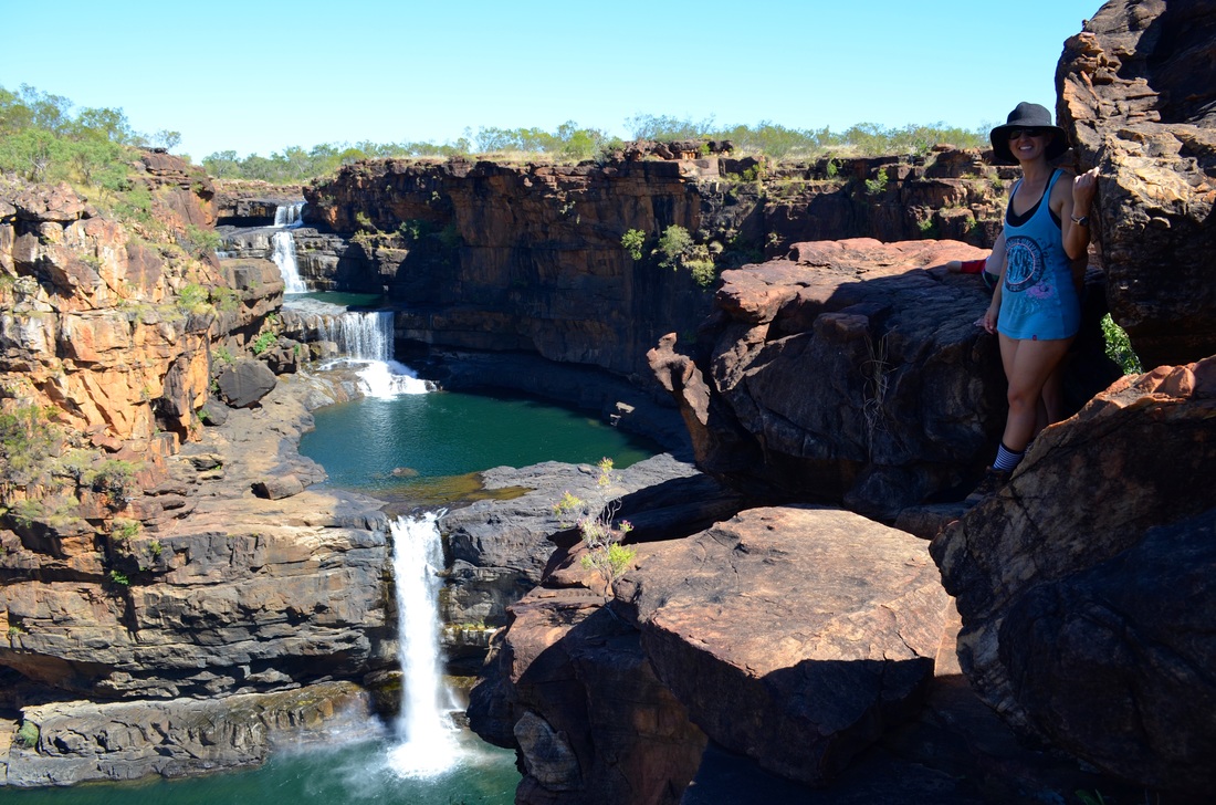
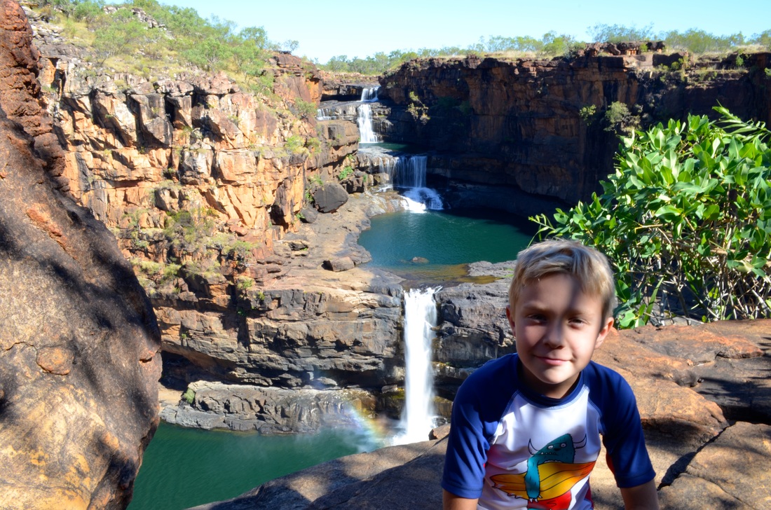
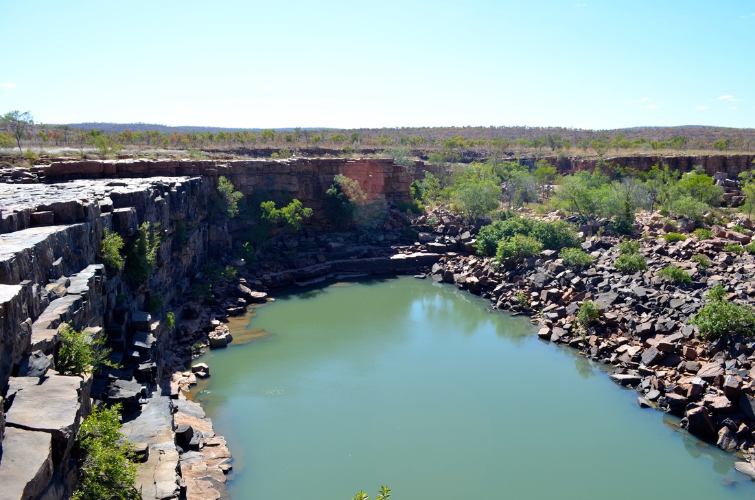
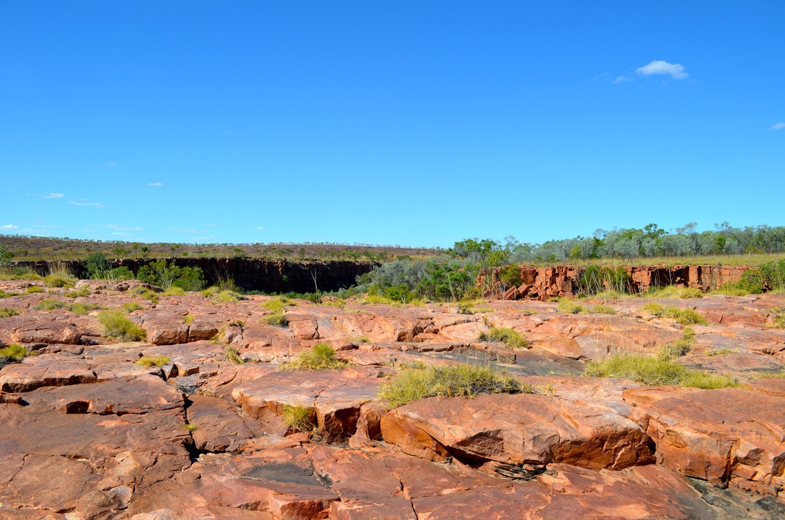
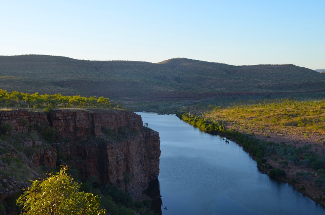
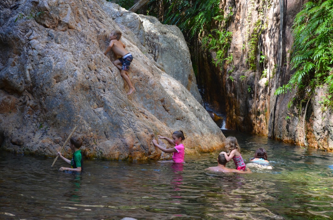
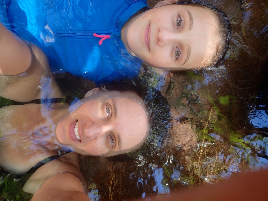
King Edward River and Mitchell Falls.


Home Valley Station


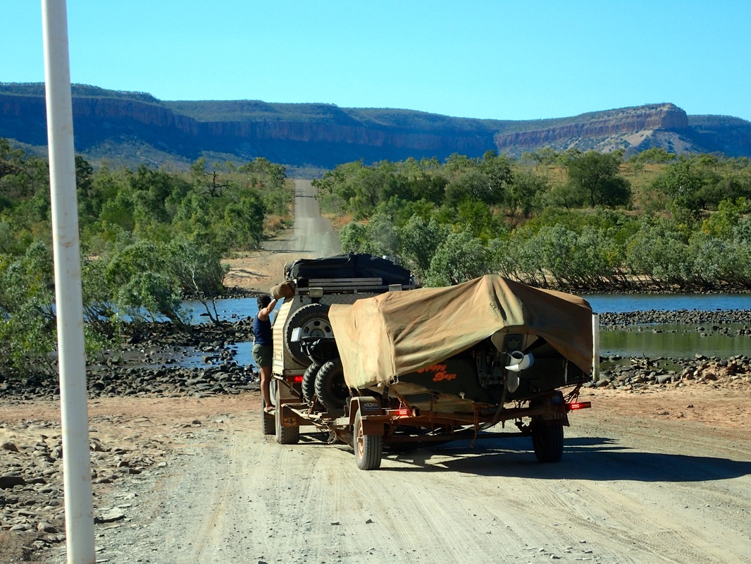
The Durack River is normally the deepest water crossing on the Gibb, however, it was dry when we passed. The mighty Pentecost was flowing but not at its sometimes treacherous depth. Jada hitched a ride on a side step across the Pentecost so she could photograph us coming over.
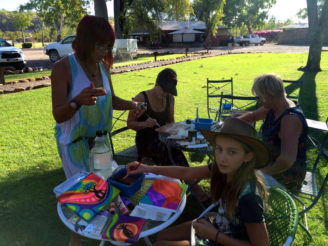
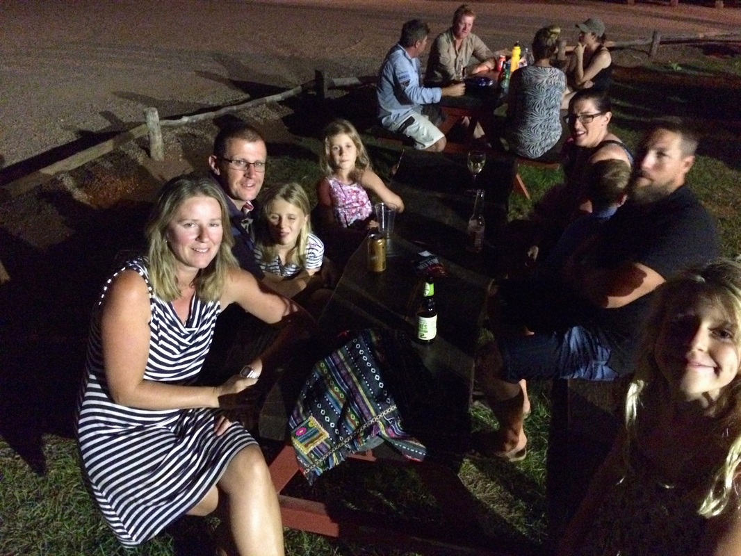
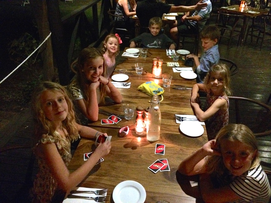
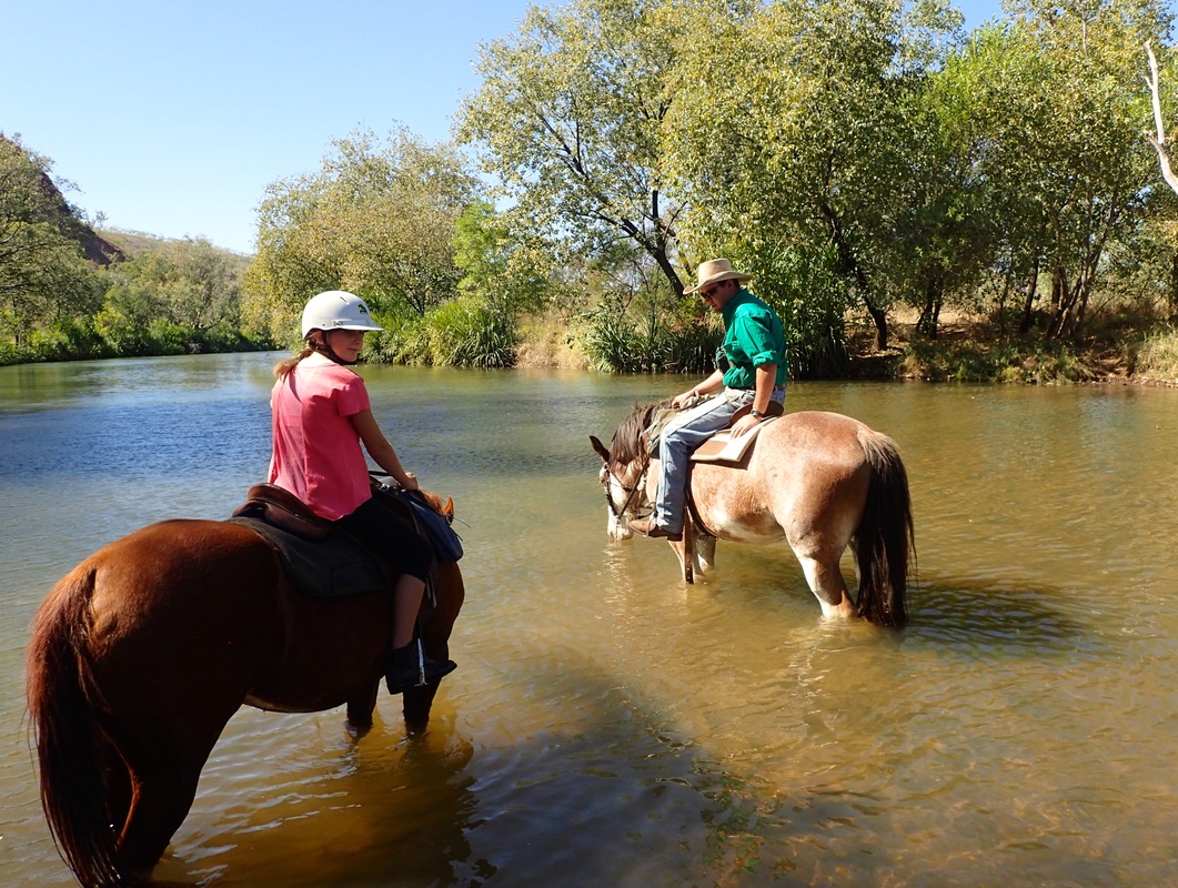
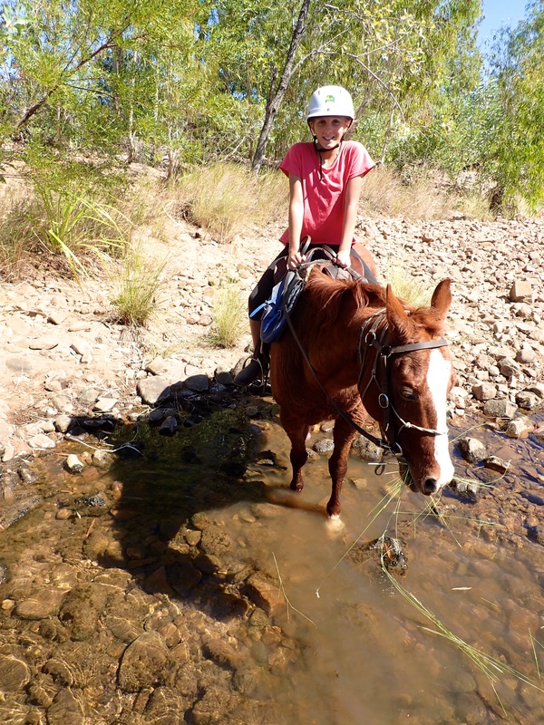
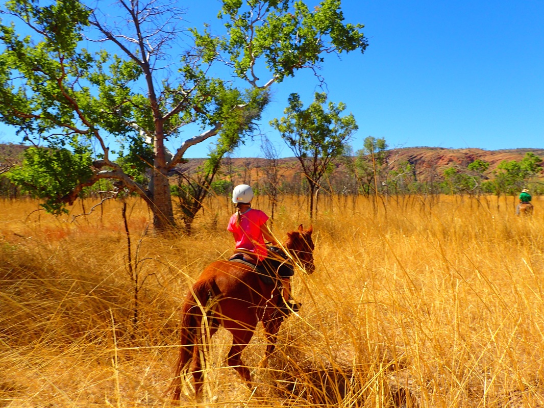
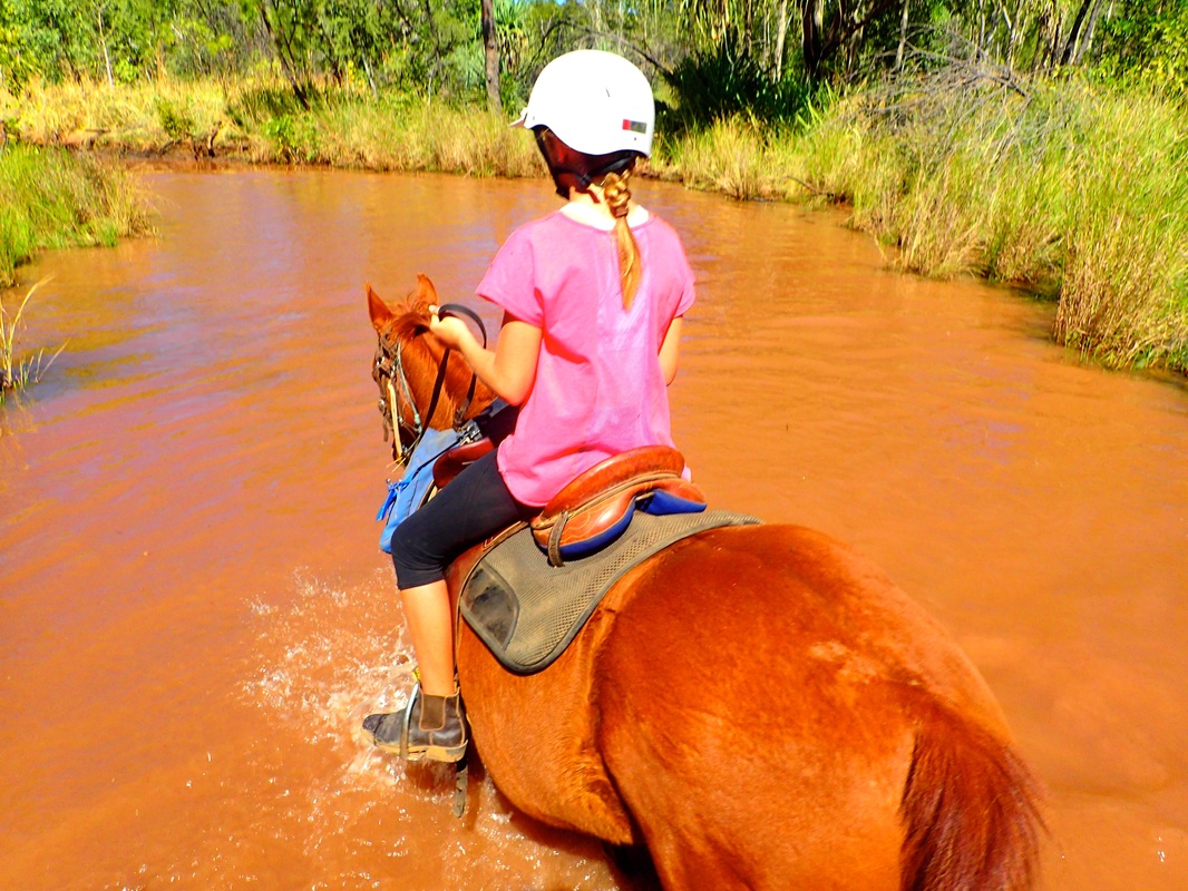
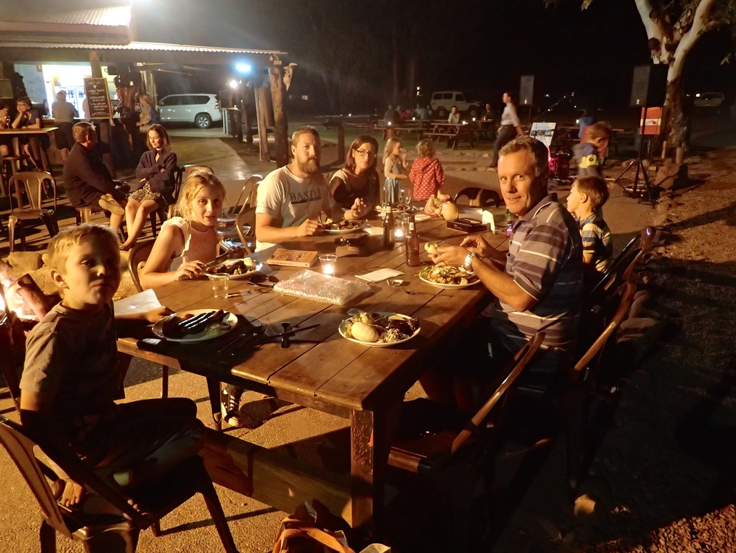
Next up was El Questro Station and a river crossing to negotiate. We had been warned El Questro was very commercial after the remoteness of the majority of the Gibb, however, we very much enjoyed our time here. Jada and Ali went horse riding for a day and Ali did an art class and painted a very nice little canvas. We also met up with the Lonergans here and the Steele family who we had first met at Mornington Wilderness Camp.
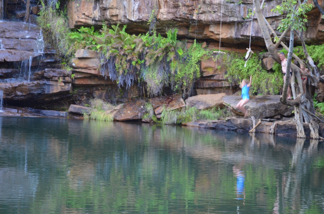
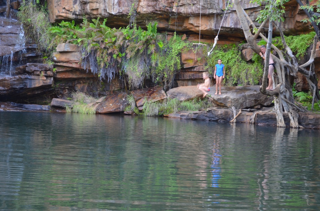
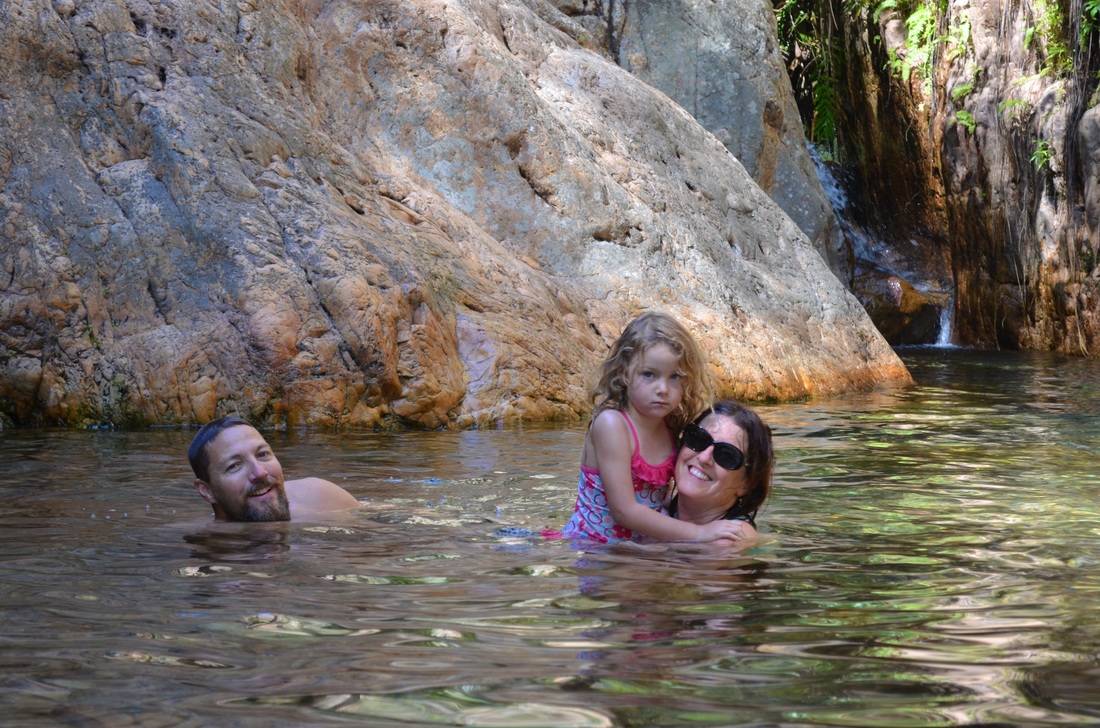
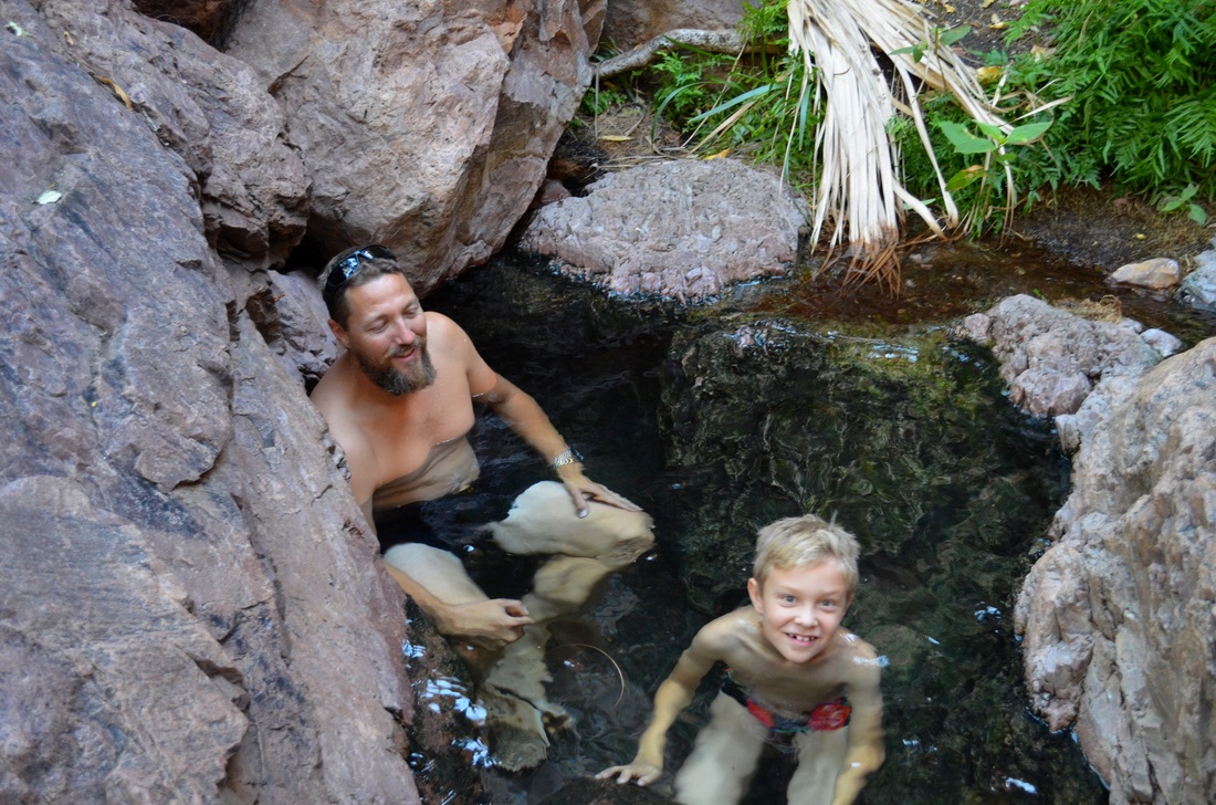
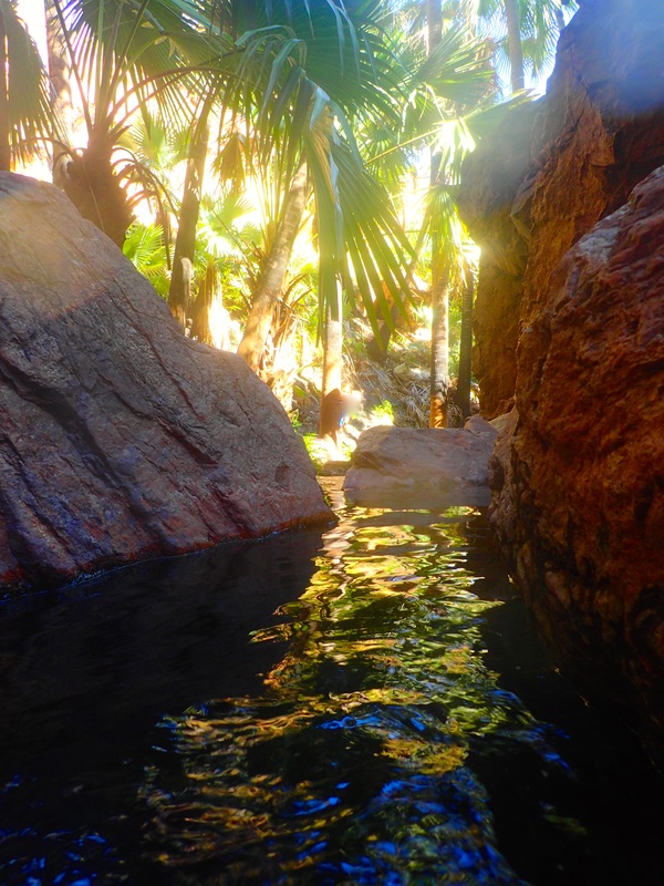
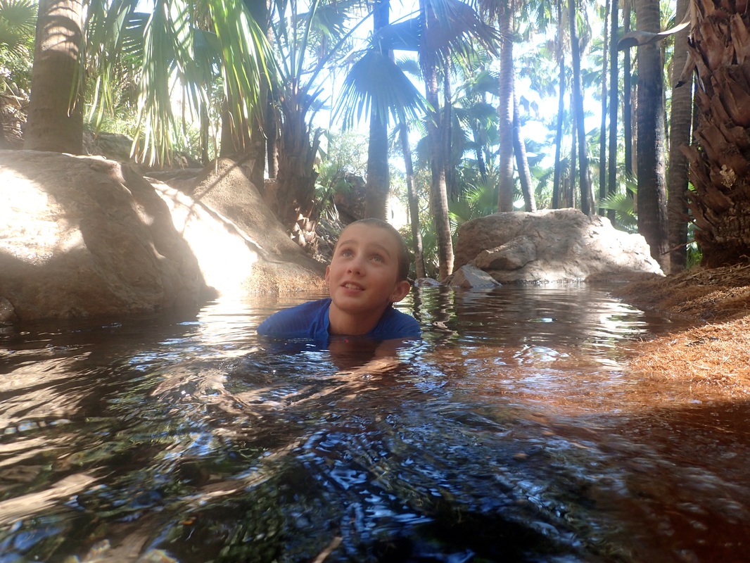
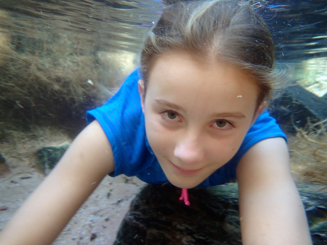
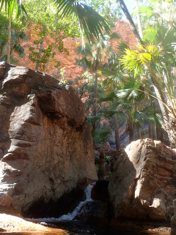
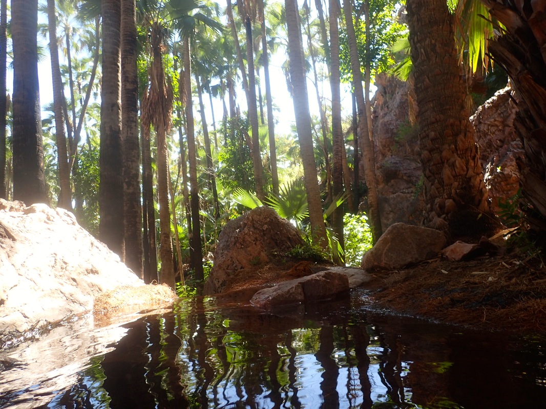
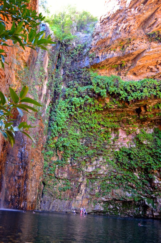
The Zebedee thermal springs and Emma and El Questro Gorges were highlights here.
The Zebedee thermal springs and Emma and El Questro Gorges were highlights here.


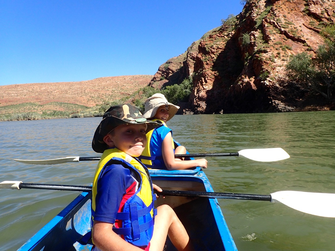
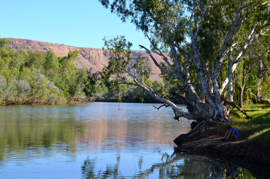
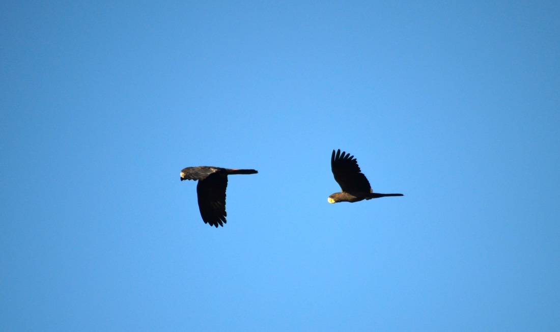
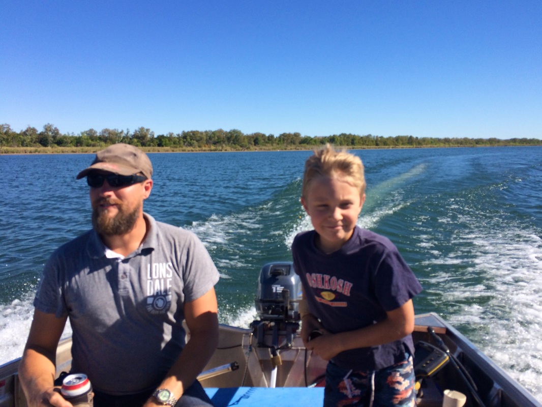
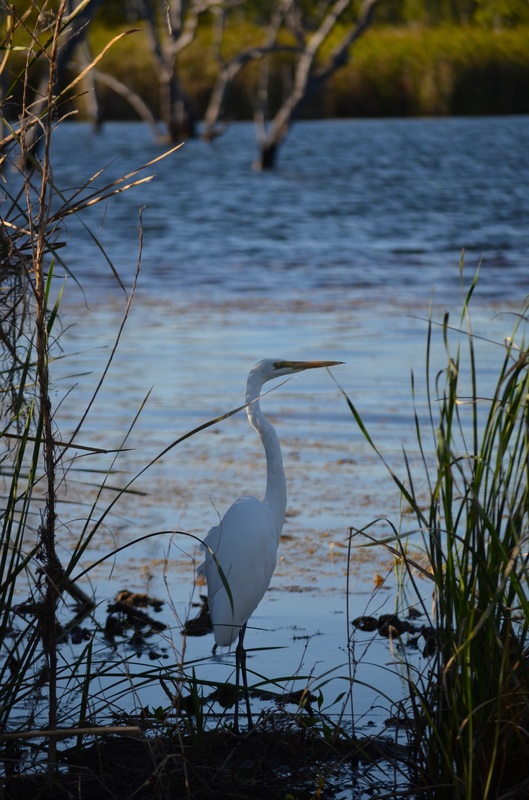
At the eastern end of the Kimberley is the Ord River. It looked so inviting that we decided to do an overnight canoe trip from the Argyle Dam wall back towards Kununurra, camping by the river. The Lonergans joined us, which was great fun. Jada and Alison had a wobbly start but were expert paddlers within a short while. The last couple of photos show the nightly flight of up to a million flying foxes from their camp to the fruit growing regions of the Ord River Irrigation Scheme - quite a spectacle!
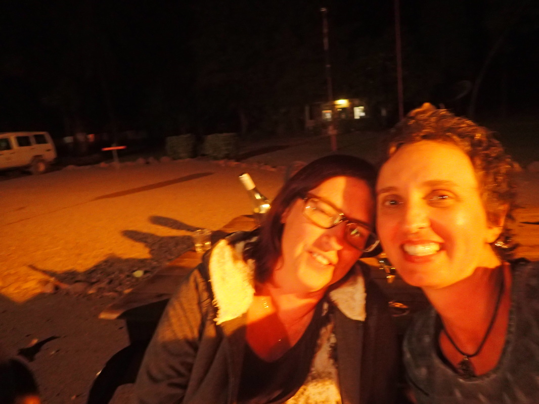
Kununurra is a nice town on the banks of the Ord River. We stayed here with the Lonergans and explored the river a little in their tinny.
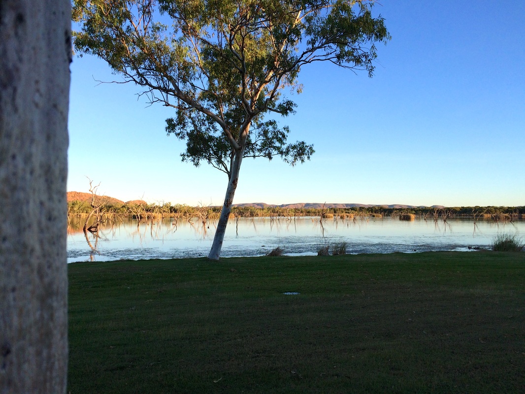

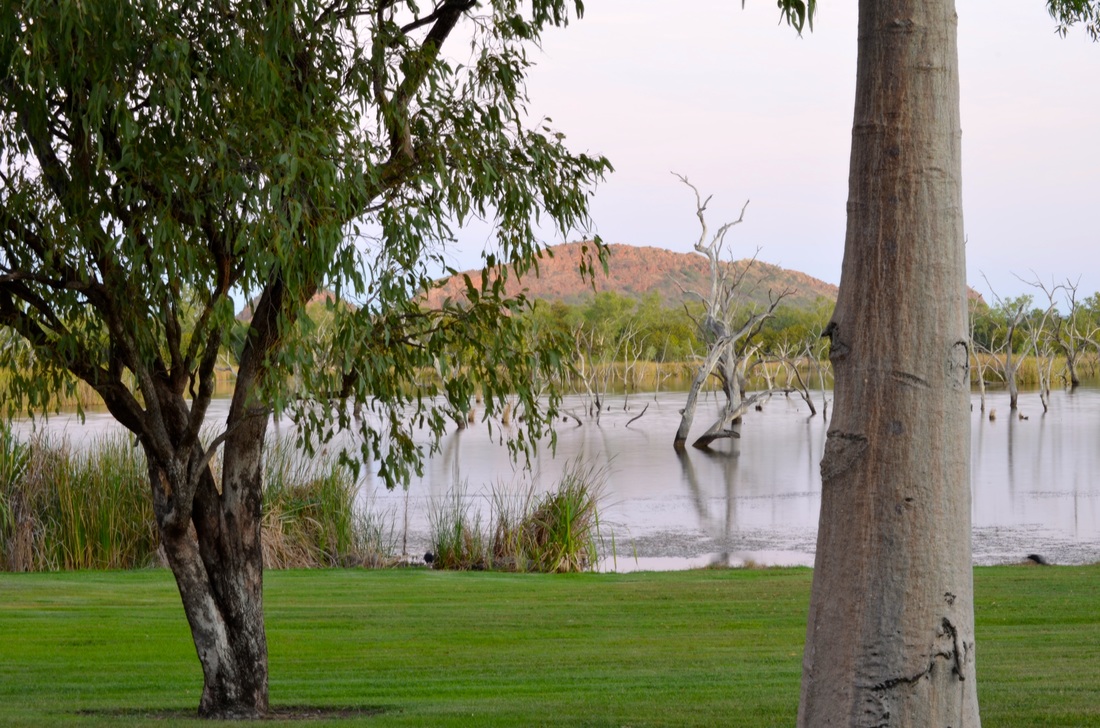


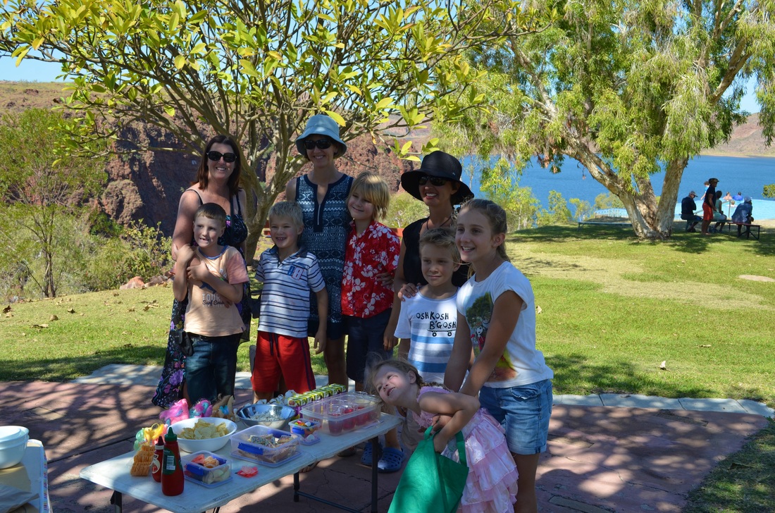
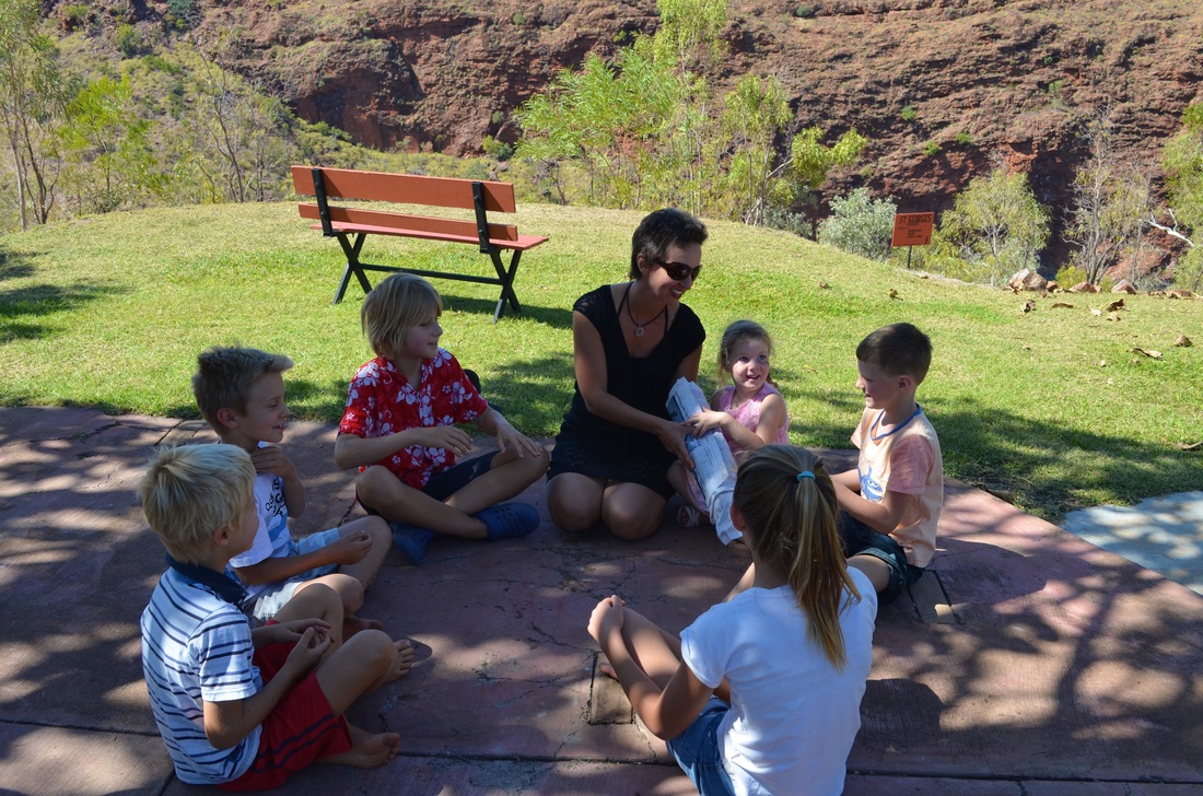
At Lake Argyle the Ellis family joined the Lonergans and us. The caravan park has in infinity edge pool which is well known to travellers due to its spectacular location overlooking the lake. We all had fun here celebrating Sarah Lonergan's fourth birthday.
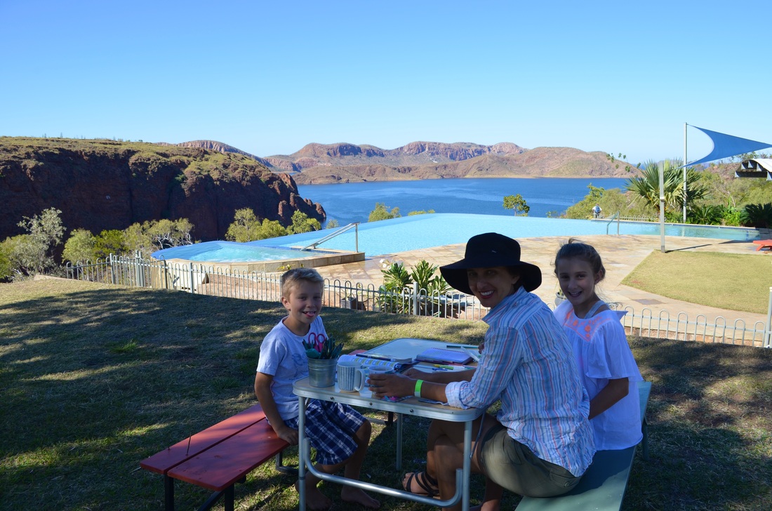
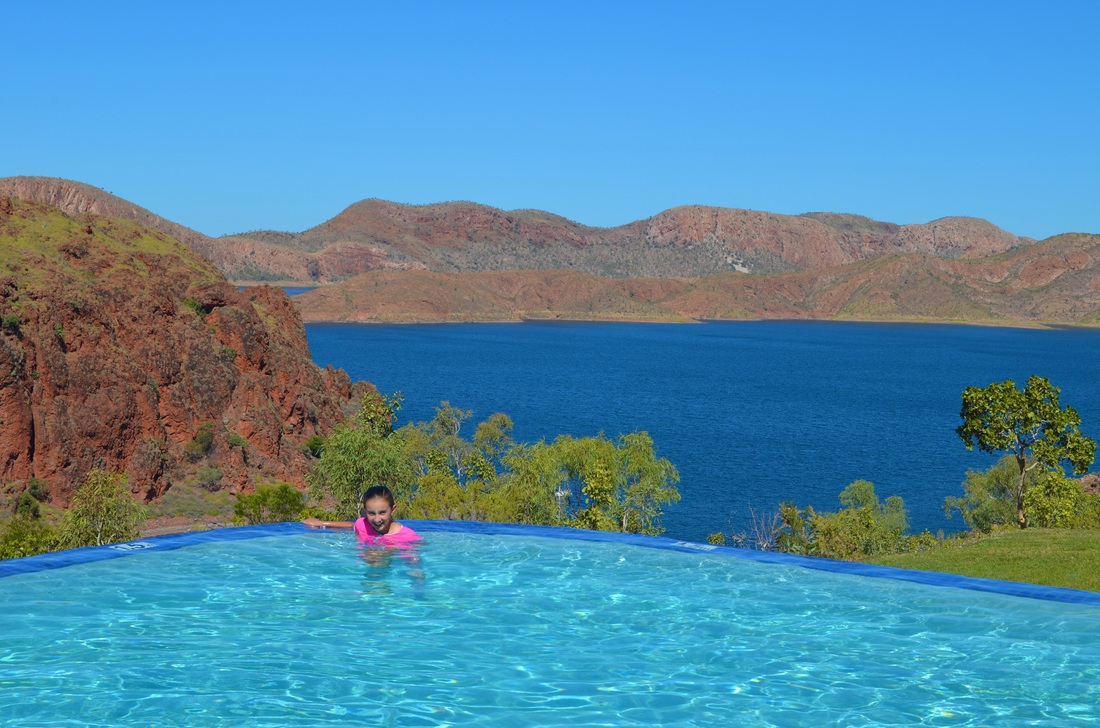
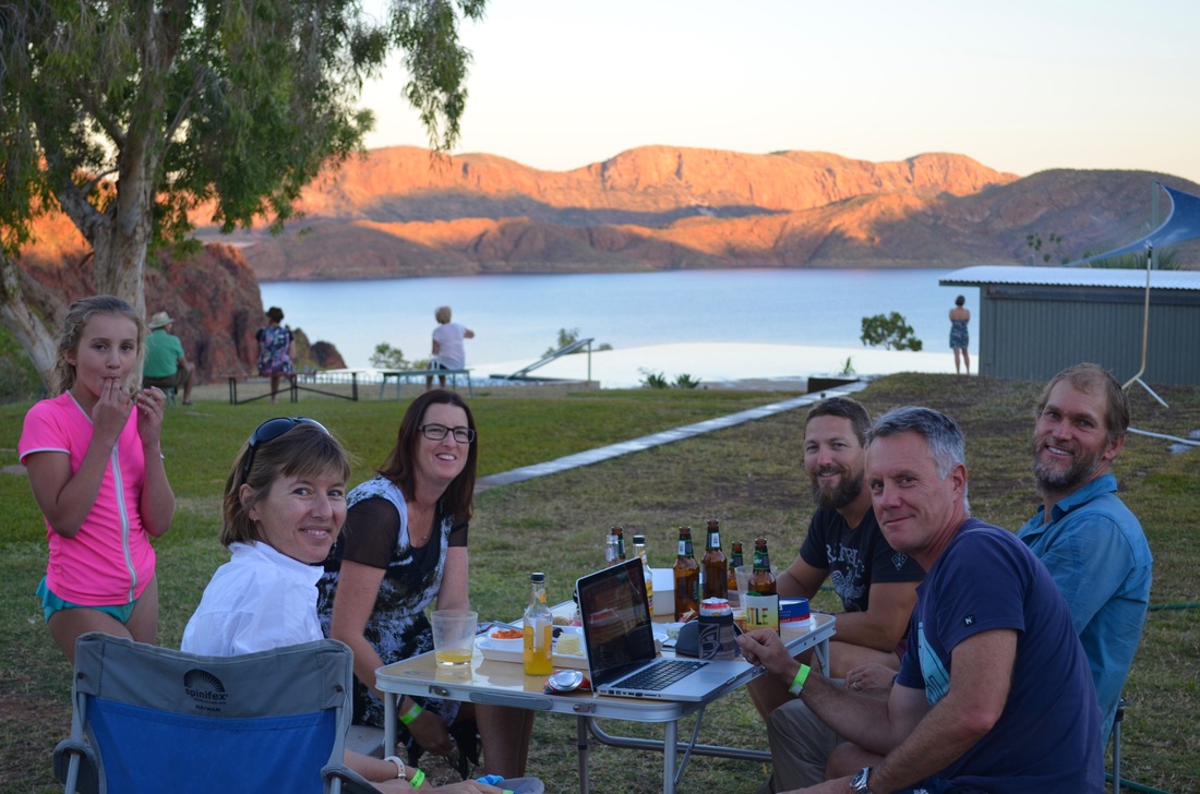
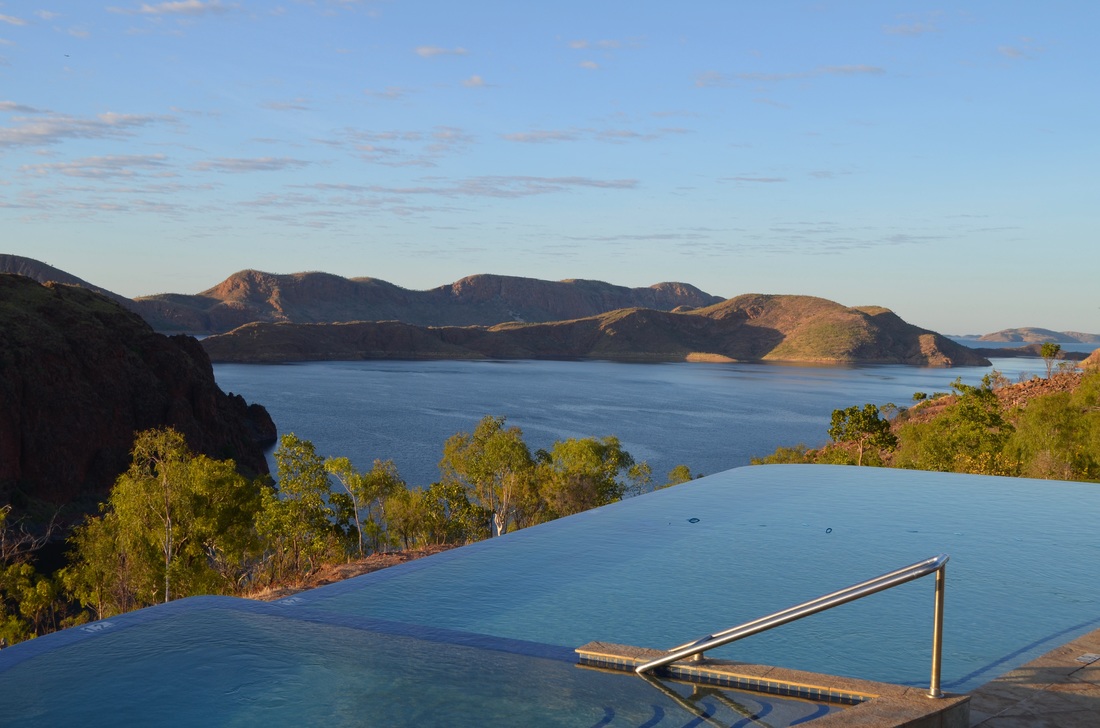
Lake Argyle is part of the Ord River Irrigation Scheme. The lake is 1000 km2 with water storage equivalent to approximately twenty Sydney Harbours and a catchment area of 46,100 km2. It is amazing to think this was achieved through the building of only one 300m long wall.
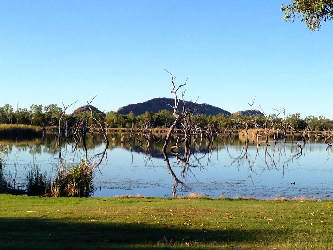
We did a boat cruise and saw a small part of this enormous and quite beautiful lake.
We did a boat cruise and saw a small part of this enormous and quite beautiful lake.
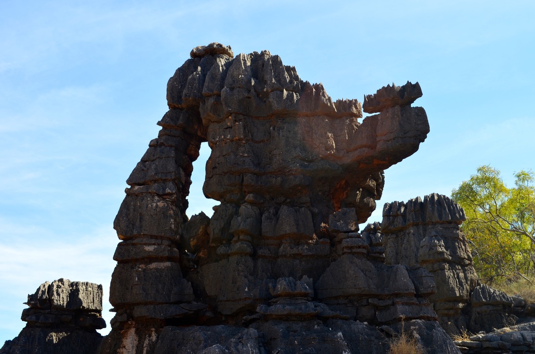
The last stop in the Kimberley was Purnululu National Park (Bungle Bungle Ranges) which is famous for its beehive shaped red and black layered rock formations. We walked Cathedral Gorge and Echidna Chasm.
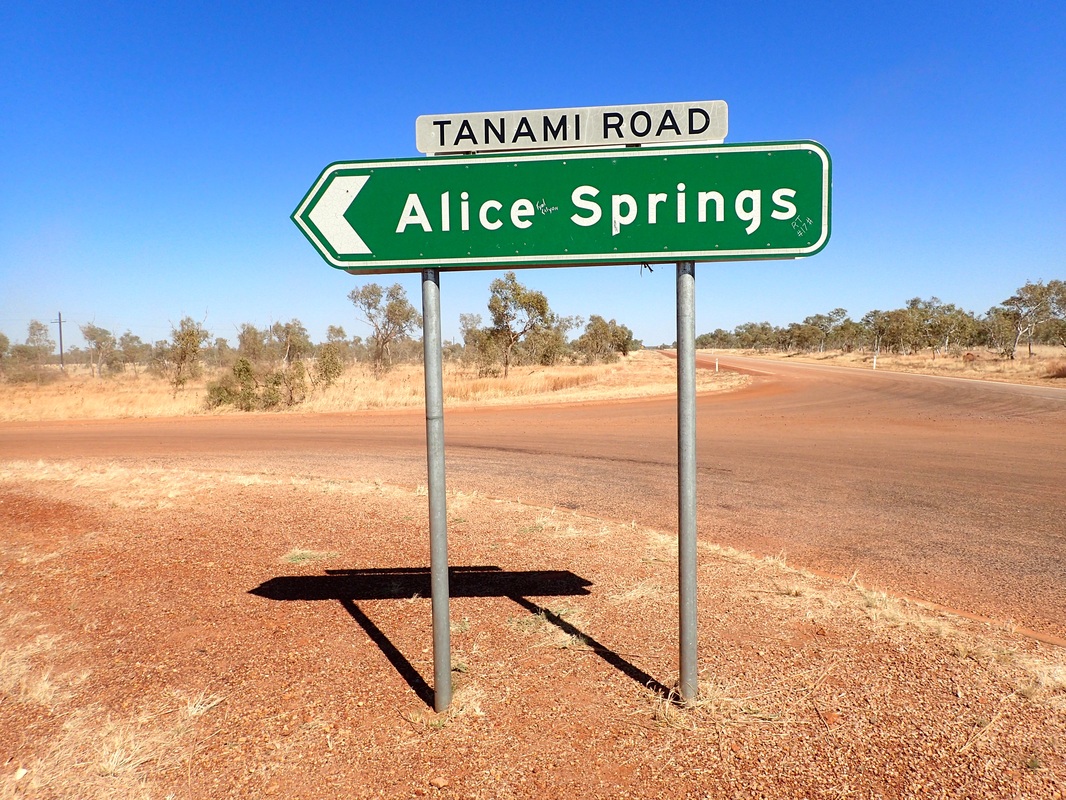
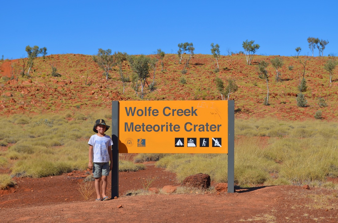
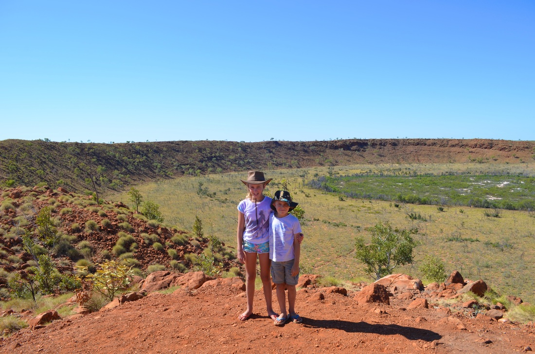
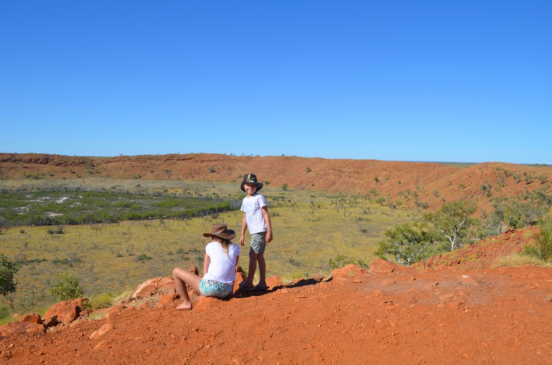
We headed to Halls Creek and then down the Tanami Track towards Alice. Our last sight to see in WA was Wolfe Creek Meteorite Crater which is the second largest in the world. We then topped up with fuel at the aboriginal community of Bililuna at $2.65 per litre - Northern Territory here we come ...